 |
| House Wren, Quabbin Park, MA, Aug 30, 2019 |
 |
| American Redstart, Quabbin Park, MA, Aug 30, 2019 |
 |
| Common Yellowthroat (with attached tick), Quabbin Park, MA, Aug 30, 2019 |
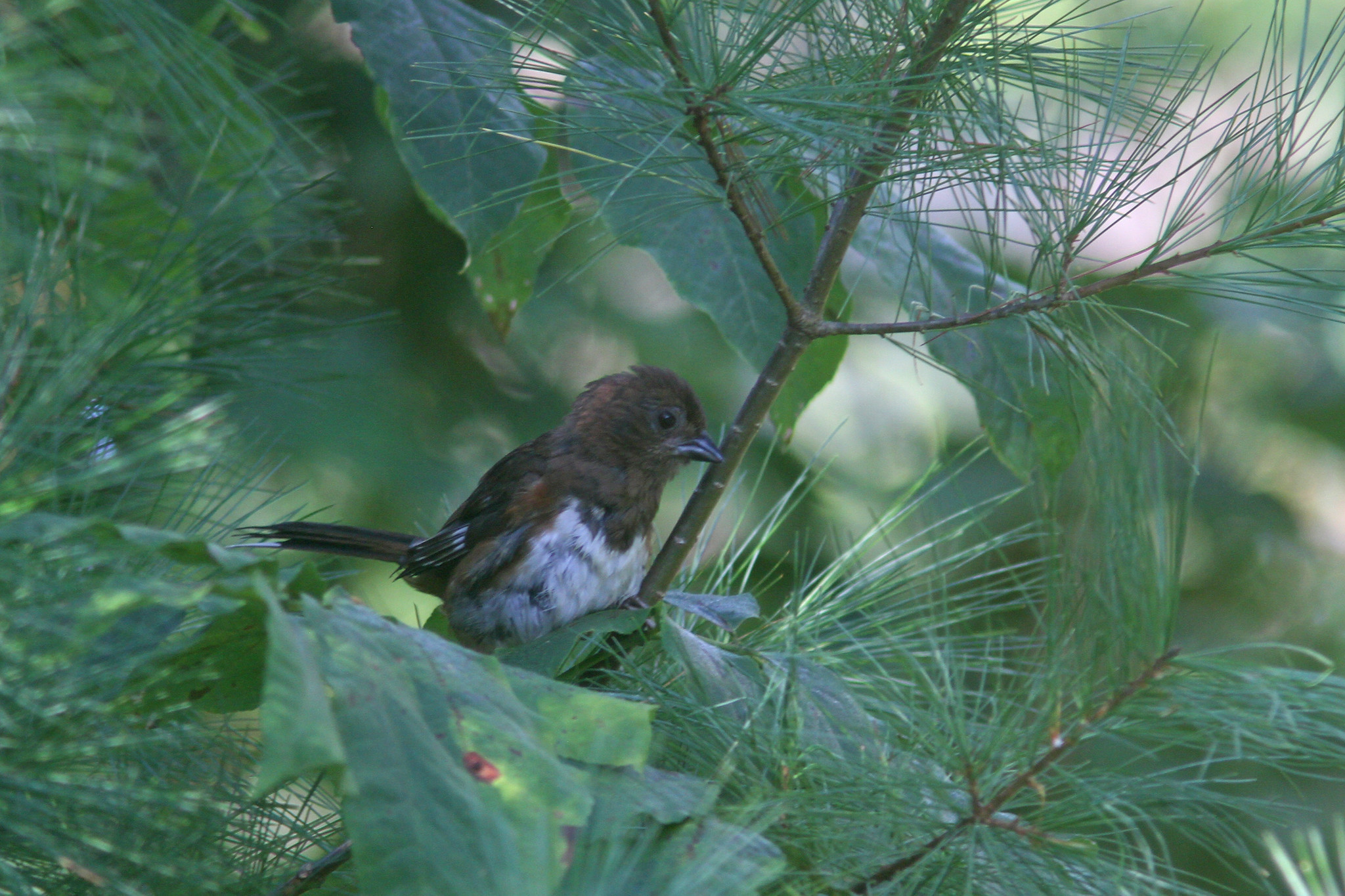 |
| Eastern Towhee, Quabbin Park, MA, Aug 30, 2019 |
I spent the early morning poking around
Quabbin Park and had a number of noteworthy sightings among 60 species for the morning including at least two Eastern Whip Poor Wills, an Olive sided Flycatcher and an early Swainson's Thrush. Most species have stopped singing by now but a few were still going strong including Eastern Wood Pewee and Red eyed Vireo. Oddly I only had seven species of warblers around with no really good mixed flocks with most birds spread out across the landscape.
 |
| Hurricane Dorian projected track as of 11AM, Aug 30, 2019 (courtesy of the NHC) |
Although the hurricane season started off a bit slow it has heated up recently with the formation of a few storms with the most impressive being Hurricane Dorian. It started off as a small storm well out in the Atlantic that made a pass through the Lesser Antilles before brushing past Puerto Rico and hitting the Virgin Islands as a Cat 1 hurricane. The storm has defied some early predictions of it being wiped out by interactions with some of the larger islands of the Greater Antilles. It has now made it into an area to the east of the Bahamas that is quite favorable for potentially rapid intensification. As of midday today it is just below Cat 3 strength and is forecast to become a Cat 4 with winds of 140 MPH before landfall into both the northern Bahamas and Florida. The storm is also forecast to slow down quite a bit which could be potentially catastrophic for some of the areas mentioned above with extreme damage from sustained strong winds and major flooding from both rain and storm surge. The islands of the Bahamas are home to a number of endemics and near endemics that would suffer greatly if a storm of Cat 4 strength lingers in the area. There is still some unknowns as far as exact track but it is almost a certainty that some area in the southeast US is going to get hit hard. Beyond the potential damage to the bird populations on the islands the storm has great potential to displace a number of species to inland locations in the southeast US. Will any of those birds make it this far? Unlikely as the track after landfall looks to move up the coast a bit before getting kicked out to sea in the mid Atlantic states somewhere but the track is far from certain at this point. I will update as the days go on. The anniversary of the most recent productive (bird wise) tropical system to hit the area back in 2011 occurred on August 28 and resulted in an epic day of birding here...link to the birds of Hurricane Irene
link.

No comments:
Post a Comment