 |
| Bank Swallows, Honey Pot, Hadley, MA, Sep 6, 2018 |
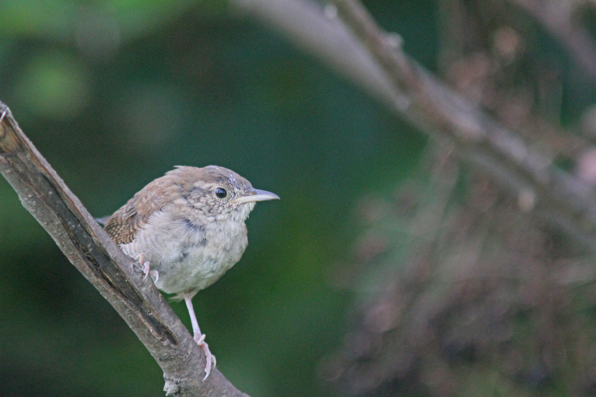 |
| House Wren, Arcadia, Northampton, MA, Sep 8, 2018 |
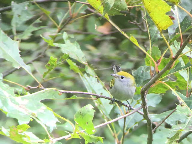 |
| Chestnut sided Warbler (iPhone photo through binoculars), Jabish Canal, Belchertown, MA, Sep 8, 2018 |
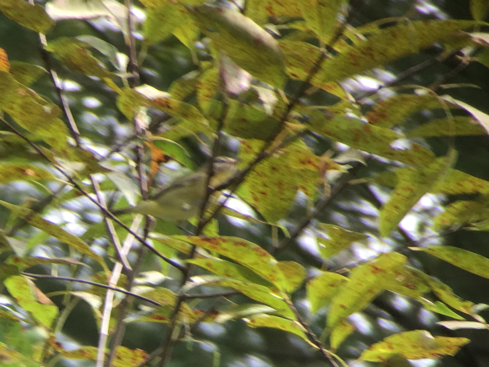 |
| Philadelphia Vireo (iPhone photo through binoculars), Jabish Canal, Belchertown, MA, Sep 8, 2018 |
The latest heat wave finally broke on Friday after we had four more days above 90 with high humidity adding to a long string of hot days for the summer (26 days above 90 so far). The cooler temperatures brought in via more northerly winds also brought in more migrants but not quite as many as I expected given the conditions. Nonetheless I managed to add two new species to my county list this morning with a flyover American Golden Plover at the Honey Pot and a Philadelphia Vireo along the Jabish Canal in Belchertown. No luck finding a Connecticut Warbler this morning but I'm certain I will turn up one (or more) soon. Other notables the last few days have included a large gathering of hundreds of swallows at the Honey Pot with most being Bank and Barn Swallows.
 |
| Tropical Storm Florence projected path as of 11AM, Sep 8, 2018 (courtesy of National Hurricane Center) |
 |
| Active tropical systems in the Atlantic as if midday Sep 8, 2018 (courtesy of National Hurricane Center) |
Now for a bit of a discussion on the tropics and how it may impact the local area. The remnants of Hurricane Gorden should pass through the area on Monday bringing some potentially heavy rain but likely little else. There is always the chance that the rain could force some migrants down so it will be worth checking a few spots on Monday. The big potential player from the tropics is Florence (a former major hurricane that is now a tropical storm). I have been watching the storm the past several days as it has made its way across the Atlantic. The storm has surprised on several occasions already as it has fought through less than ideal conditions and became a major hurricane and has followed a somewhat unusual path. The storm is unusual in having formed so far north and east and then track in a manner that it becomes a possible threat to the U.S. east coast. The current forecast calls for the storm to regain strength and become a major hurricane (category 3+) over the next few days. It appears more and more likely that a major hurricane will strike somewhere on the east coast of the United States somewhere between northern Florida and possibly as far north as New England (although the chances of a direct strike here are relative low). The exact track is certainly still up in the air but the track should become more clear over the next few days. As far as what possible impact the storm will have here in relation to birds remains to be seen but I will post more about it over the next few days. Beyond Florence there are two more potential storms to come as the tropics really start heating up as the peak of hurricane season rapidly approaches. In the meantime I have a post from a few years ago regarding
tropical systems that might be of interest.


This comment has been removed by a blog administrator.
ReplyDelete