 |
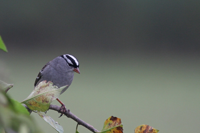
| White crowned Sparrow, Honey Pot, Hadley, MA, Oct 11, 2018 |
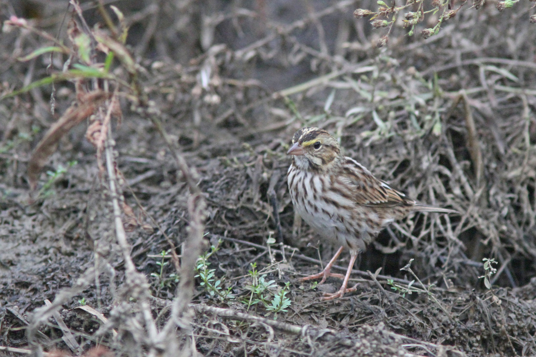 |
| Savannah Sparrow, East Meadows, Northampton, MA, Oct 11, 2018 |
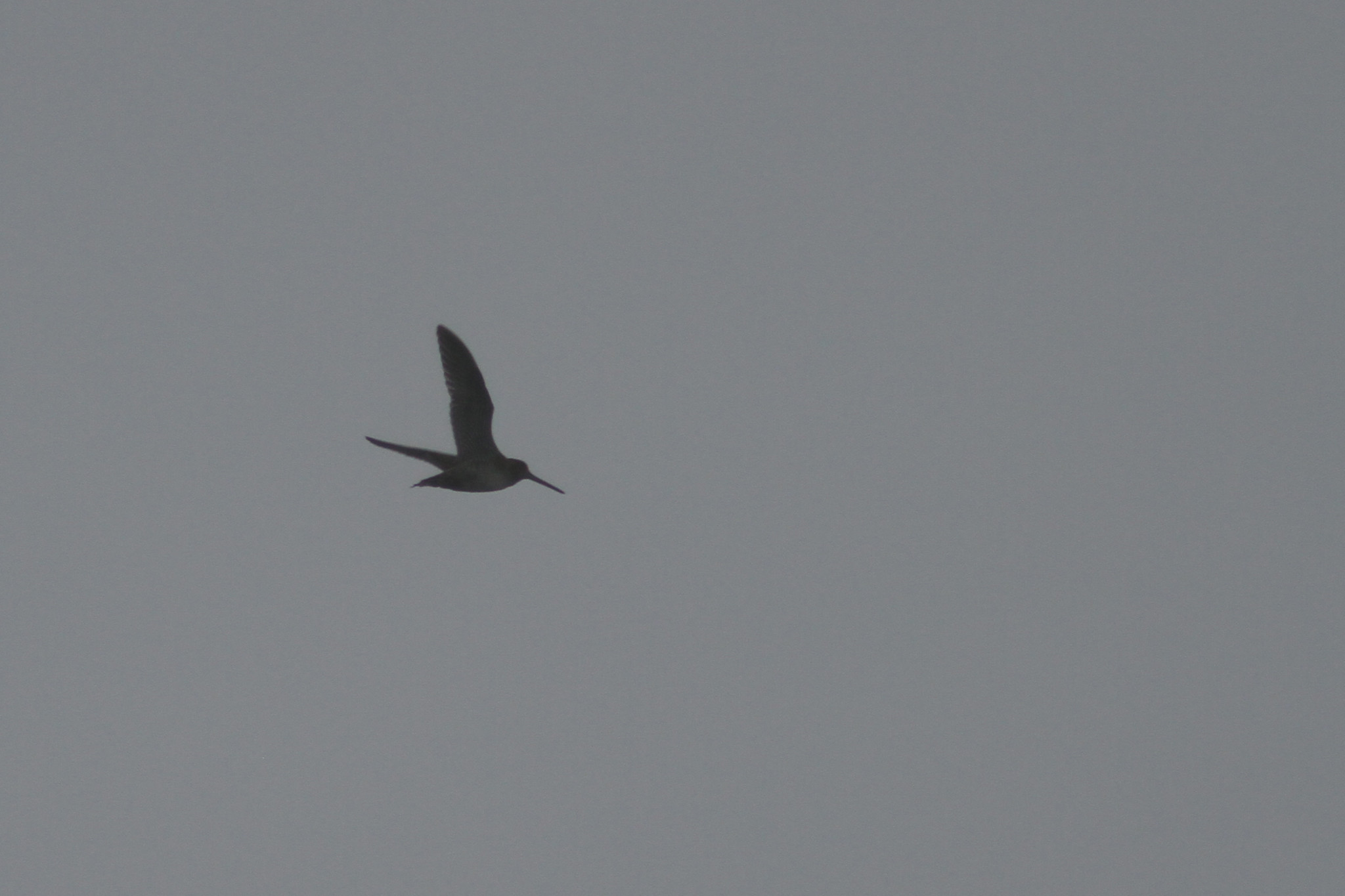 |
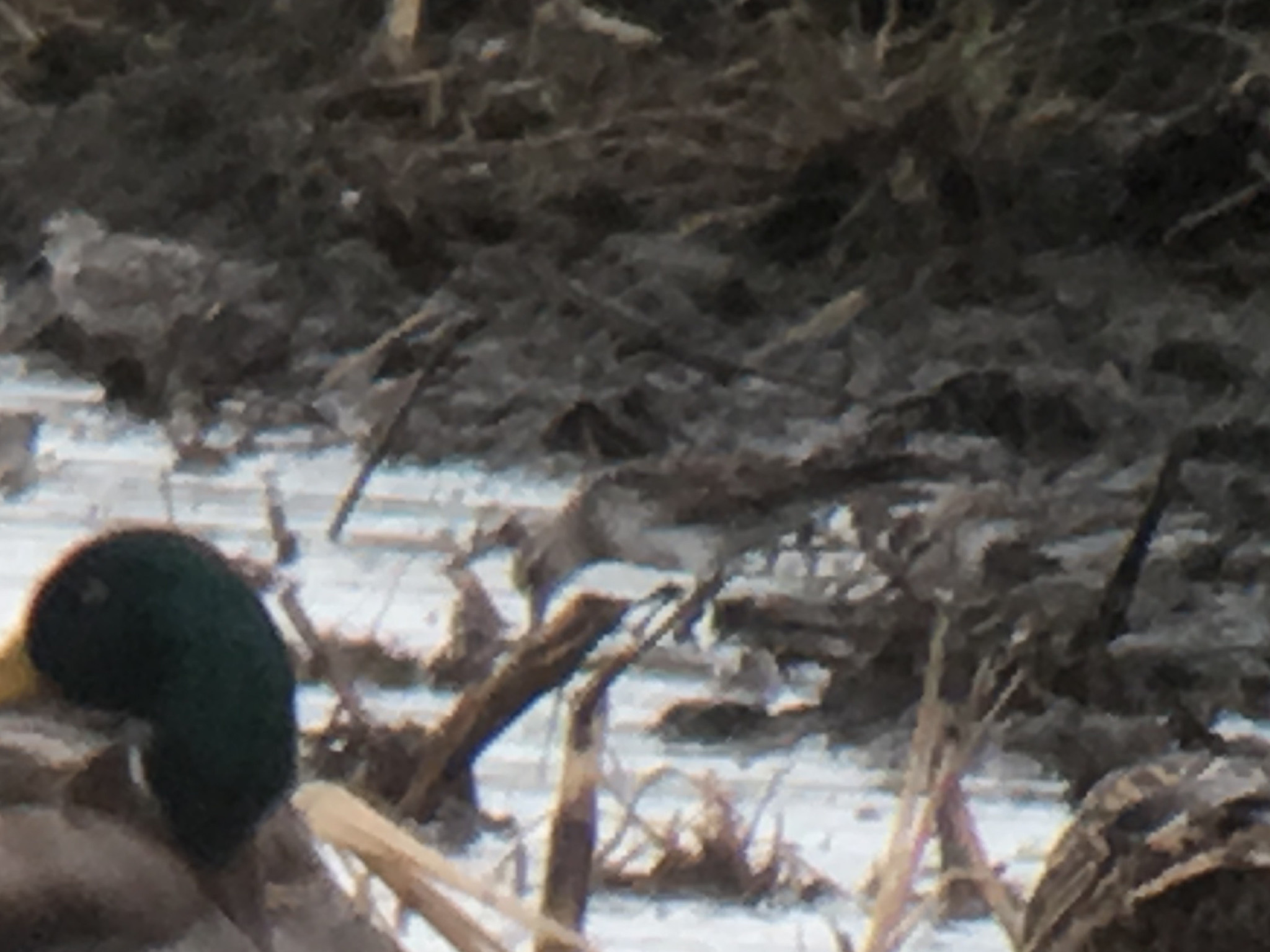
| Wilson's Snipe, East Meadows, Northampton, MA, Oct 11, 2018 |
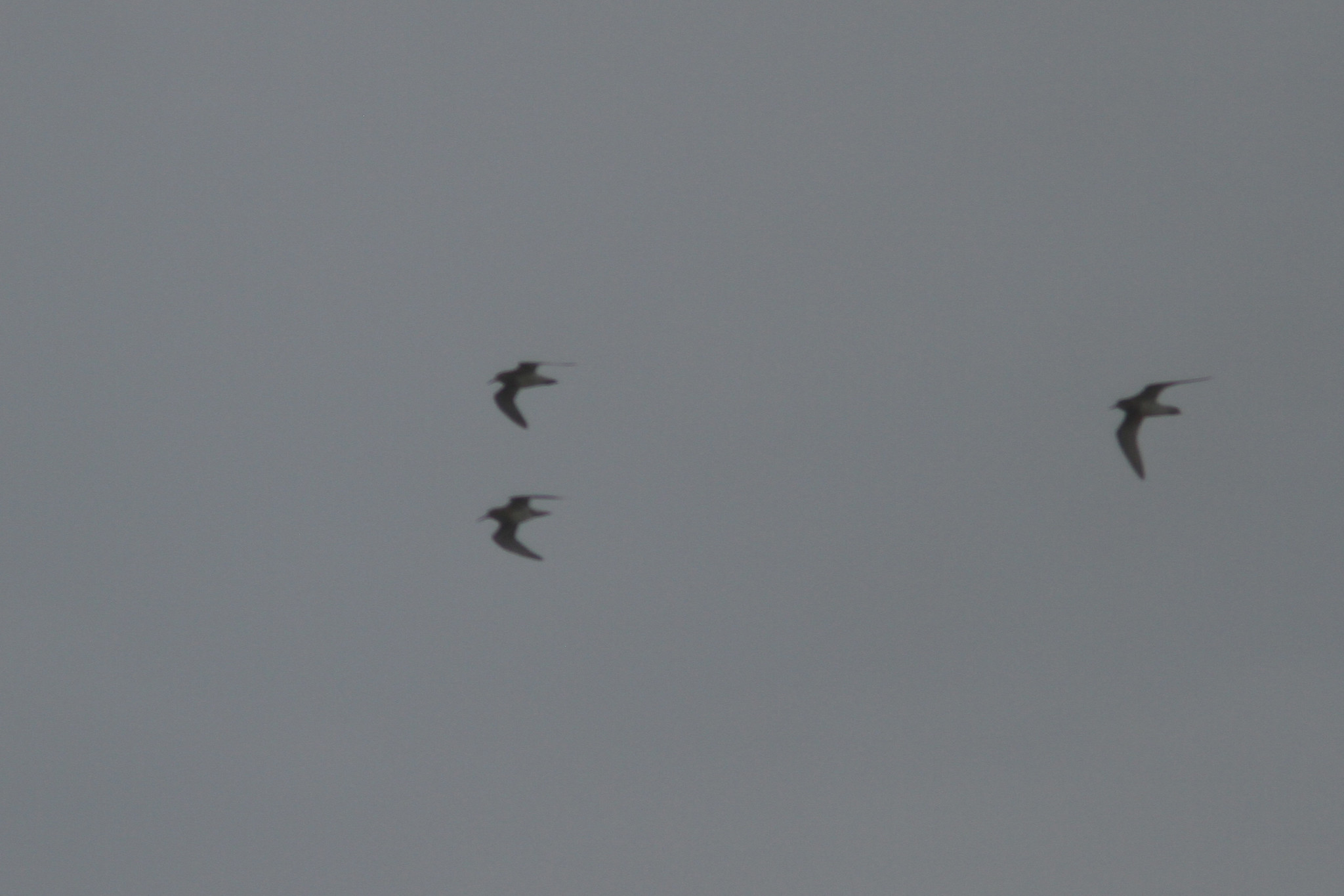 |
| Pectoral Sandpipers, East Meadows, Northampton, MA, Oct 11, 2018 |
 |
| White rumped Sandpiper, North Hadley, MA, Oct 11, 2018 |
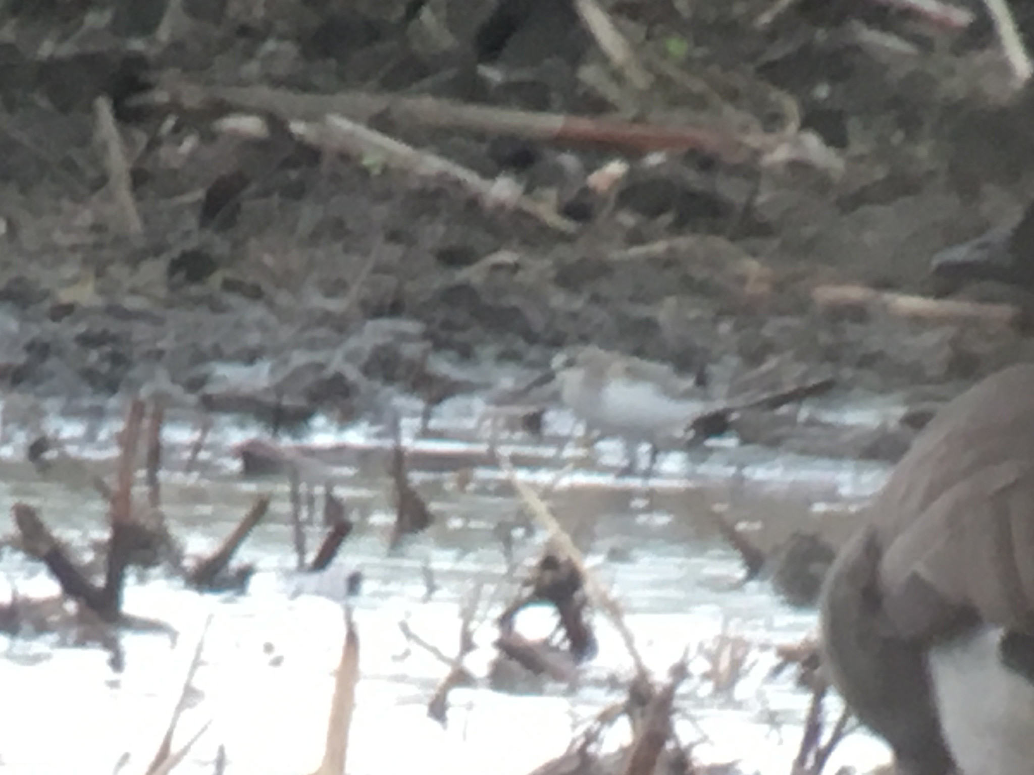 |
| Semipalmated Sandpiper, North Hadley, MA, Oct 11, 2018 |
Today I went in search of a Nelson's Sparrow seen yesterday in the East Meadows but despite quite a bit of looking I came up empty but did have some other good stuff there including several species of sparrows and a few different shorebirds (full eBird list
here) The Nelson's Sparrow may still be in the area but it was not in the areas I checked. After striking out on the sparrow I headed over for a brief visit to the
Honey Pot before continuing north to check on some muddy fields in Hadley. I found a nice selection of shorebirds there and ended the morning with seven species including three Semipalmated Sandpipers (late).
Hurricane Michael came ashore yesterday in the Florida panhandle at just below Category 5 strength with winds around 150-155 MPH and a pressure of 919 mb making it one of the strongest hurricanes (by wind speed and barometric pressure) to ever make landfall in the U.S. and the strongest storm ever to make landfall in the U.S. in October. The storm continued moving off to the northeast and entered inland Georgia as a Category 3 storm. It continues to move rapidly and will likely maintain tropical storm strength before making it back over the ocean in the mid Atlantic where it will regain some strength as it becomes an extratropical storm. A historic storm to be sure and one that caused catastrophic damage..a hurricane chaser I follow fairly closely describes the area of Panama City as looking as if a nuke was dropped on the city and is some of the worst damage he has seen (and he has chased many storms all around the world). As far as birds are concerned Birdcast has a page dedicated to the storm at the following link:
Hurricane Michael birding. The only impact we should see here is some tropical downpours today associated with the storm as it passes off to our south. Our mild stretch (80's yesterday and 70's today) will be coming to an end with much cooler temps starting tomorrow courtesy of a stiff northwest wind (with highs around 60). We could also have our first frost on Sunday morning. Hopefully the northerly winds will bring us our first big push of waterfowl.
 |
| Wilson in the sun, Oct 10, 2018 |
There is at least someone who will be happy with the change to cooler weather...he was dragging yesterday in the 80 degree weather.
No comments:
Post a Comment