 |
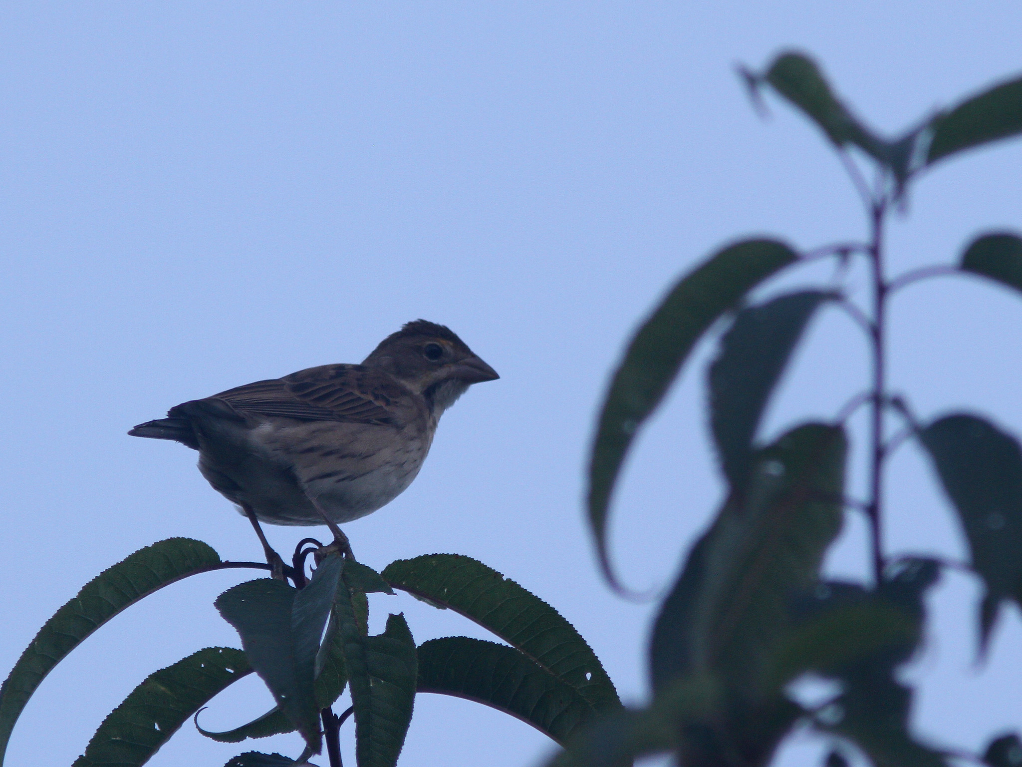
| Dickcissel, Arcadia, Northampton, MA, Sep 4, 2017 |
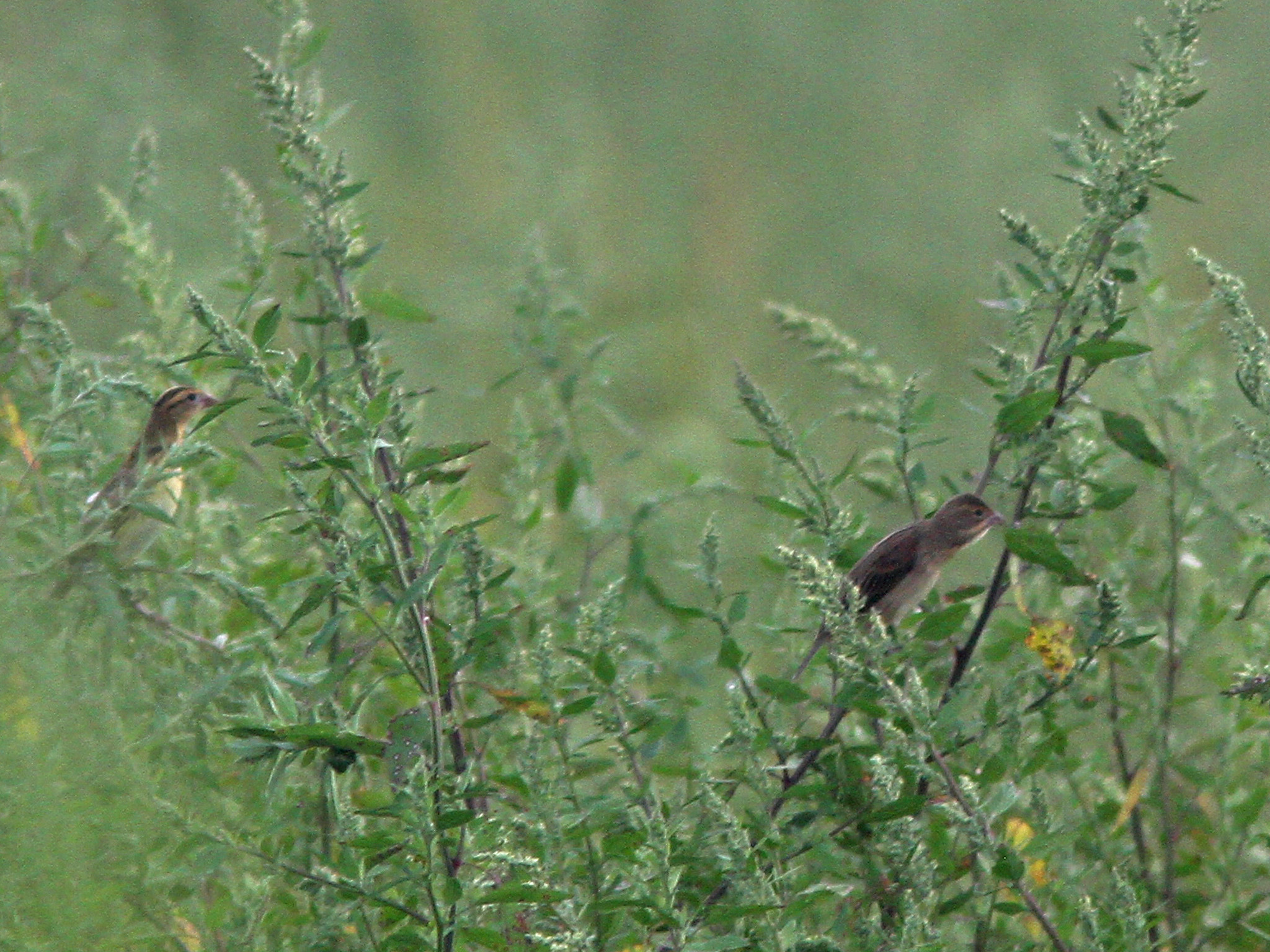 |
| Dickcissel and Bobolink, Arcadia, Northampton, MA, Sep 4, 2017 |
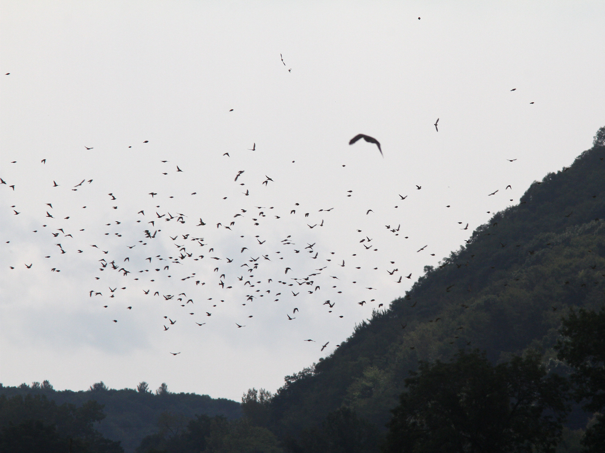 |
| Bobolinks and Cooper's Hawk, Arcadia, Northampton, MA, Sep 4, 2017 |
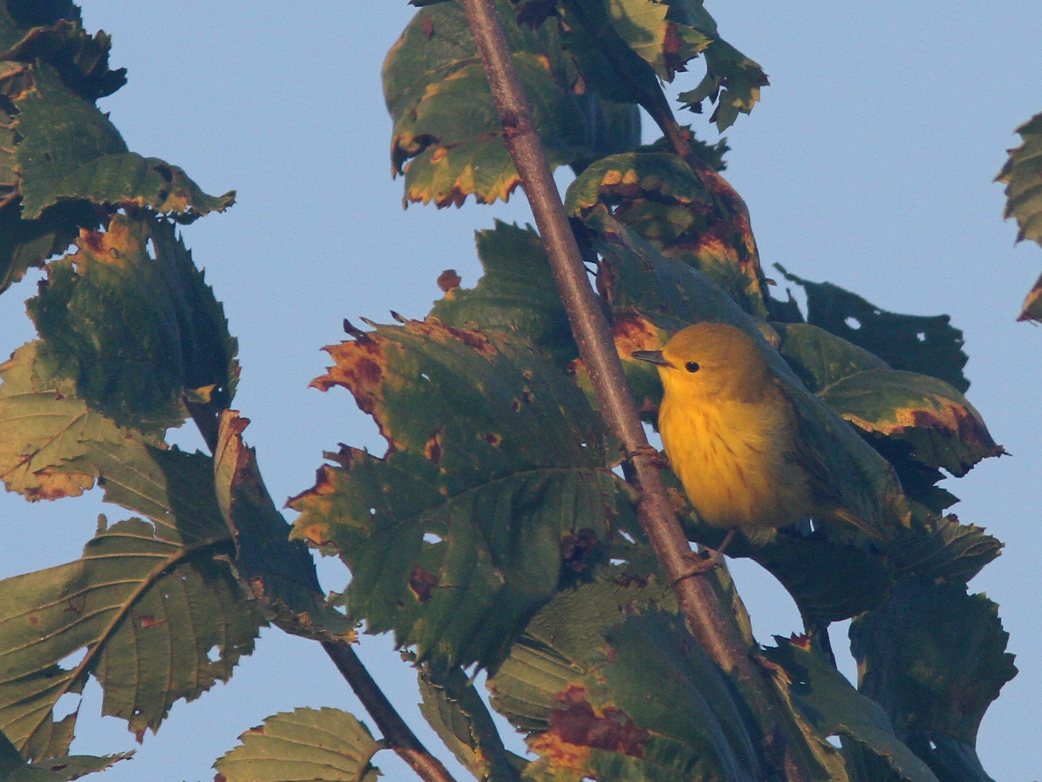 |
| Yellow Warbler, Arcadia, Northampton, MA, Sep 4, 2017 |
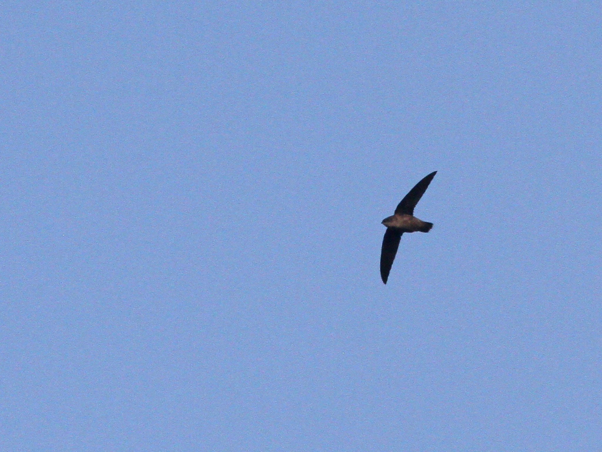 |
| Chimney Swift, Arcadia, Northampton, MA, Sep 4, 2017 |
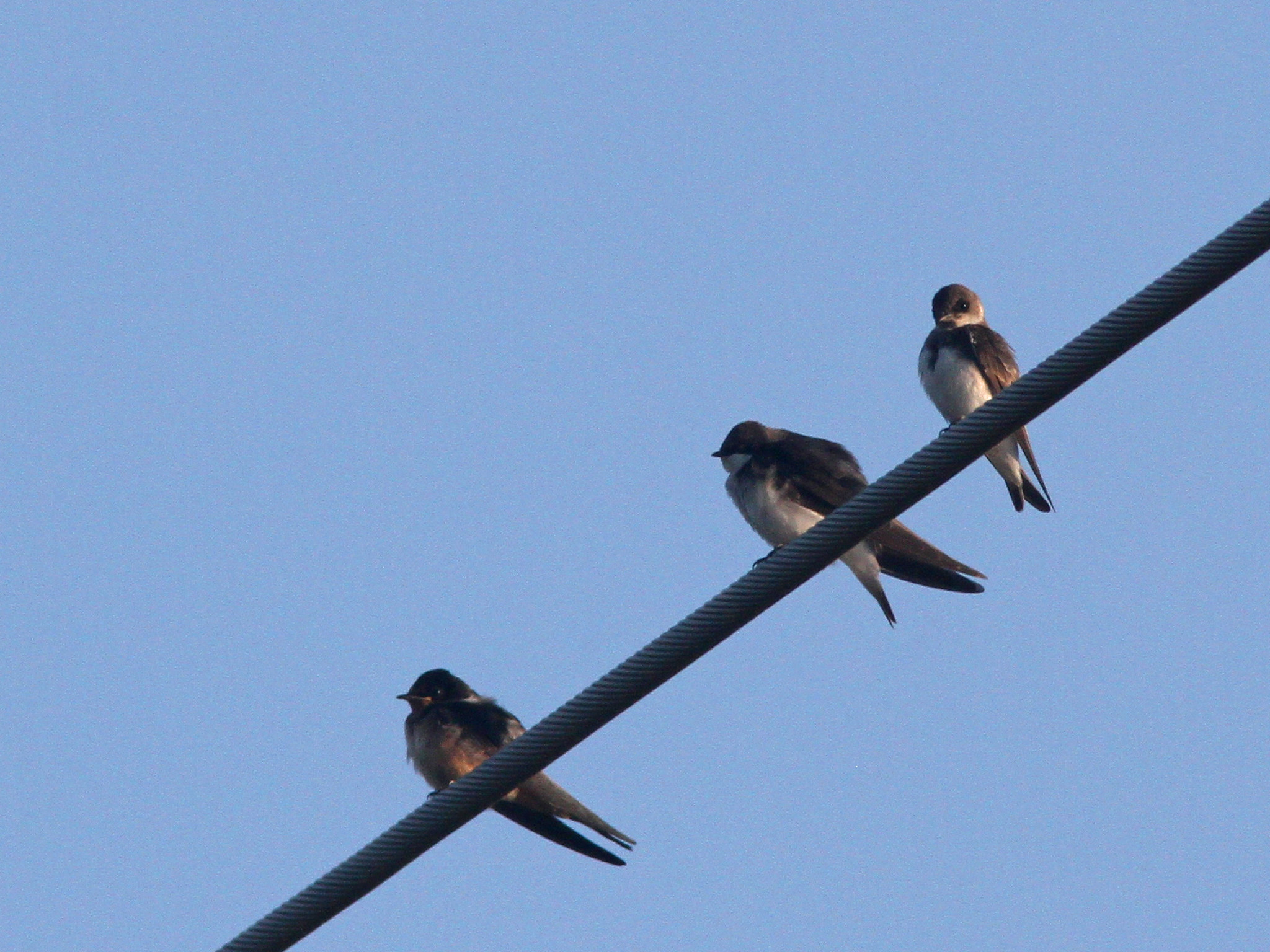 |
| Barn Swallow, Tree Swallow and Bank Swallow, Arcadia, Northampton, MA, Sep 4, 2017 |
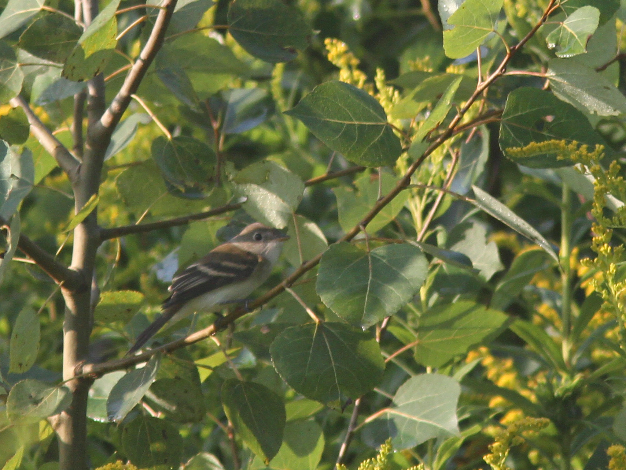 |
| Willow Flycatcher, Arcadia, Northampton, MA, Sep 4, 2017 |
After a dismal day yesterday with cool temps and rain most of the day (compliments of the remnants of Harvey) today was much improved with mostly sunny skies and warm temperatures (eventually). Yesterday I mainly caught up on stuff around the house although I did make a few checks around the local area to see if the rain forced any migrants (such as shorebirds or terns) down but no luck for me. Today I birded with Keenan for a few hours at Arcadia starting off at dawn. Quite a few good birds around including at least two Dickcissel, a Willow Flycatcher, 600+ Bobolinks and good numbers of Indigo Buntings and Song Sparrows among the 63 species tallied. Full list from the morning here:
Arcadia
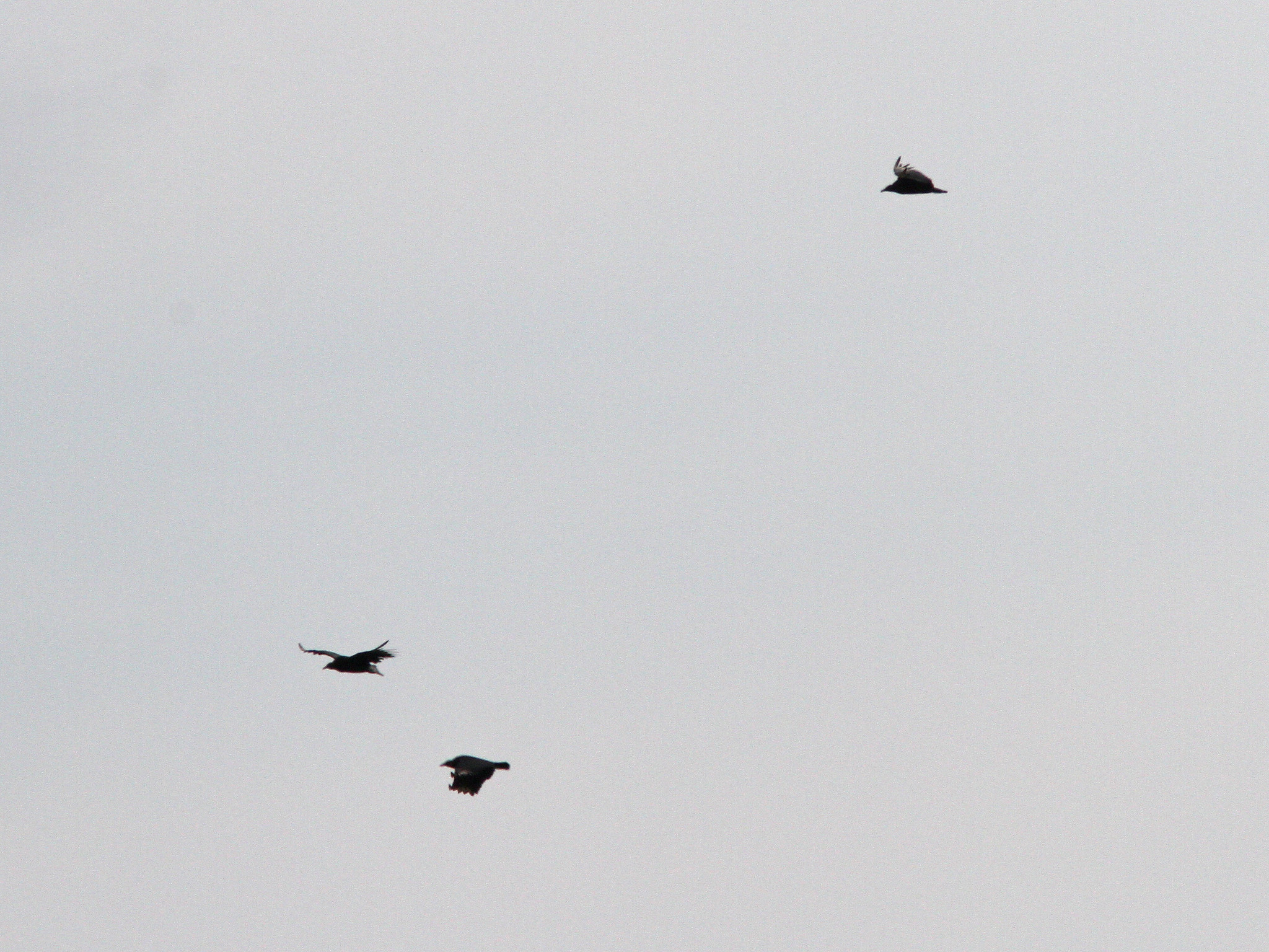 |
| Black Vultures, Hadley, MA, Sep 4, 2017 |
 |
| Black Vultures, Hadley, MA, Sep 4, 2017 |
On my way home I turned up three Black Vultures along Moody Bridge Road flying around among the more numerous Turkey Vultures. My walk with Wilson along the Jabish Canal turned up a mixed species flock that included my first Bay breasted Warbler of the fall.
Tomorrow looks to be a warm and humid day before we get some rain showers from Wednesday into Thursday before a return to sunny but cooler temps on Friday. The next big push of migrants looks to occur then so I be out seeing what I can find then.
 |
| Projected path Hurricane Irma as of 5PM, Sep 4, 2017 |
Hurricane Irma continues to gain strength and became a Category 4 storm today with winds at 130 MPH. The forecast models have continued to trend to the south and west compared to earlier predictions. It now looks to impact some of the northern Lesser Antilles directly and get very close to Puerto Rico before heading into the Turks and Caicos and the Bahamas. A hit on Hispaniola and/or Cuba can also not be ruled out at this point. The chances of a hit here have diminished a bit but a landfall somewhere in the US seems to be very likely. Different models are pointing to different locations but a landfall somewhere between Florida and the Carolina's seems quite possible. There are still several weather systems out there that will have an impact on the future of the storm and there are still many questions yet to be answered....stay tuned.

No comments:
Post a Comment