Showing posts with label hurricane birding. Show all posts

Tuesday, August 24, 2021

Hurricane/Tropical Storm Henri birding

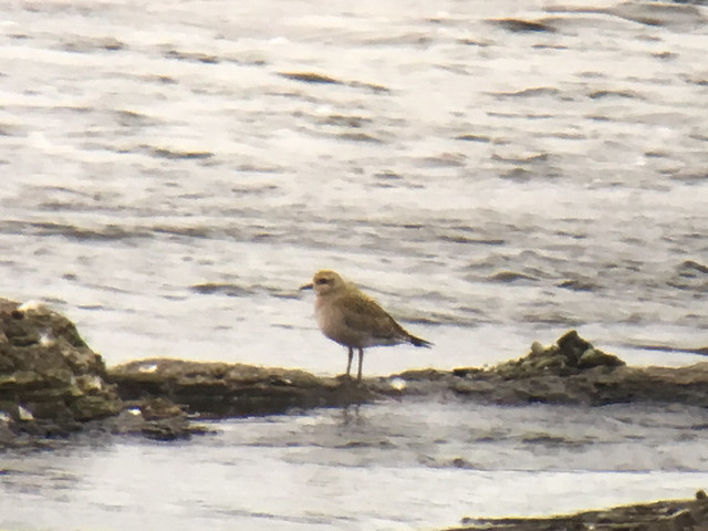
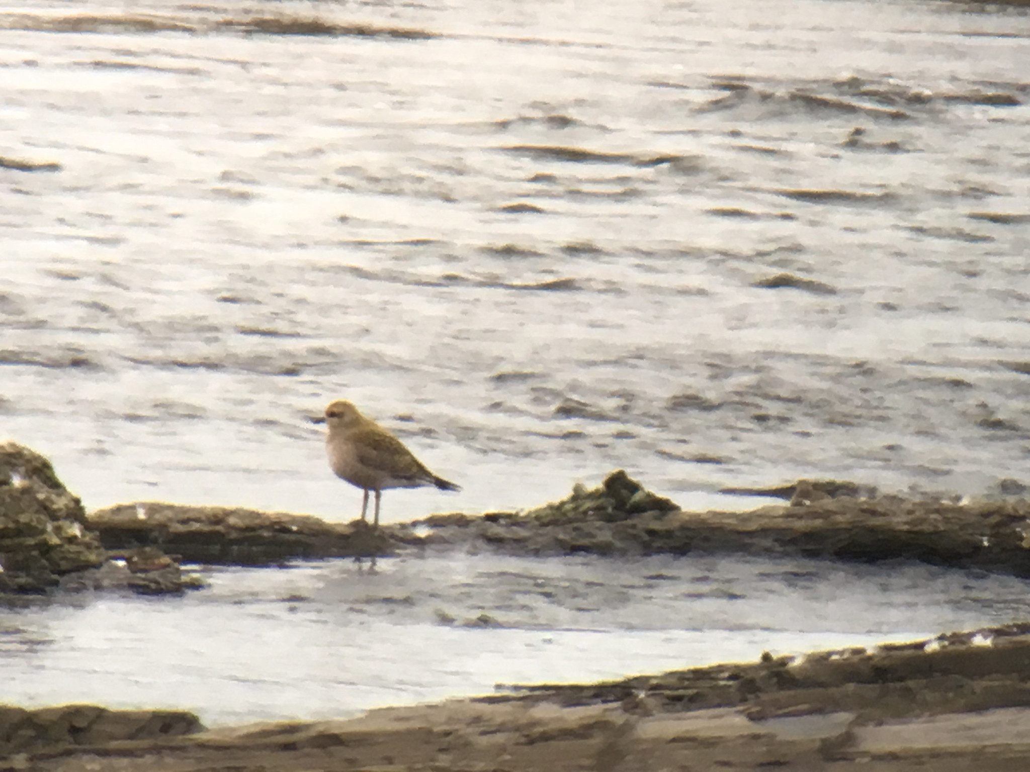
Lesser Black backed Gull, Winsor Dam, Quabbin Park, MA, Aug 22, 2021
Lesser Black backed Gull with Ring billed Gull, Winsor Dam, Quabbin Park, MA, Aug 22, 2021
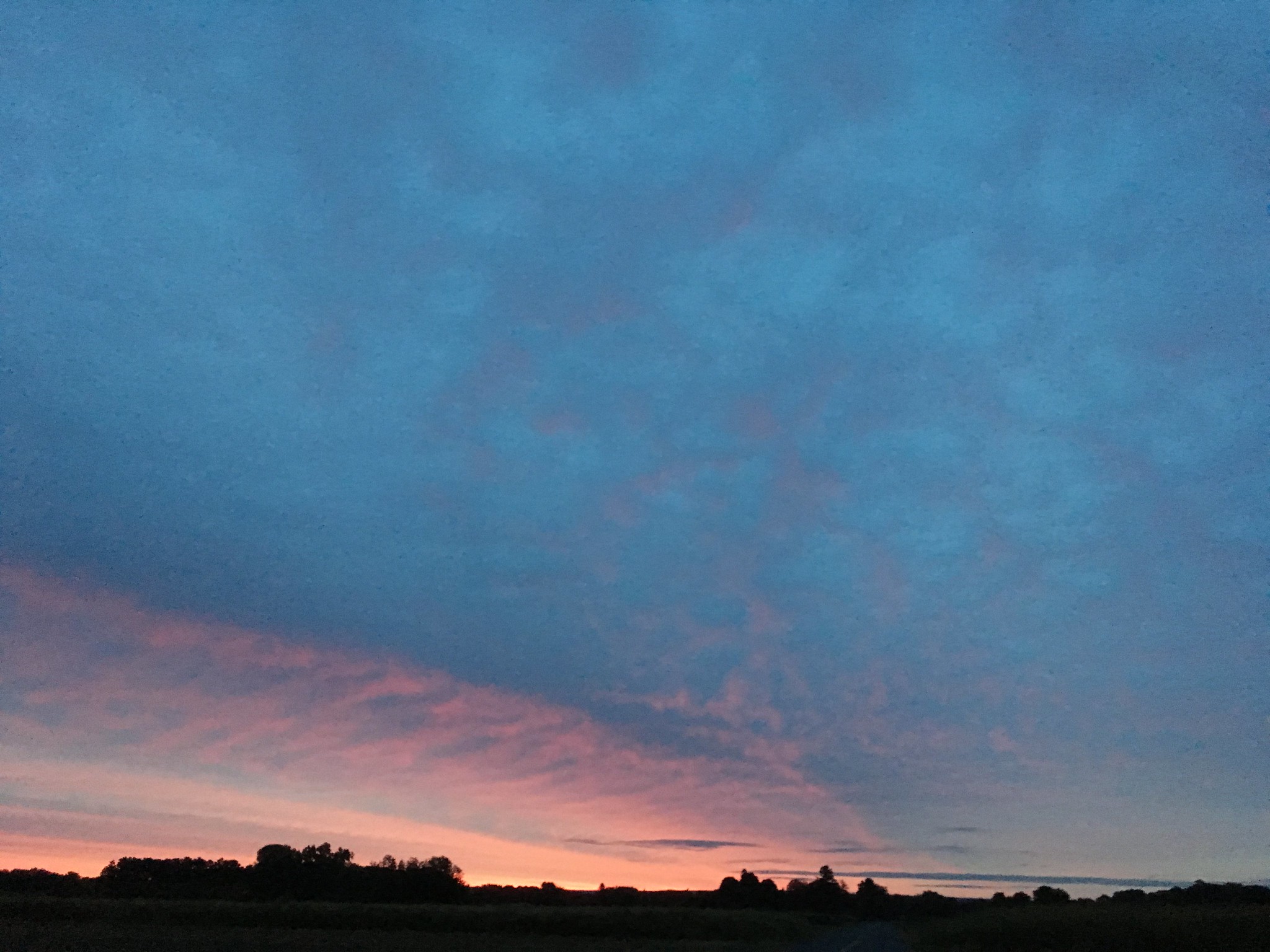
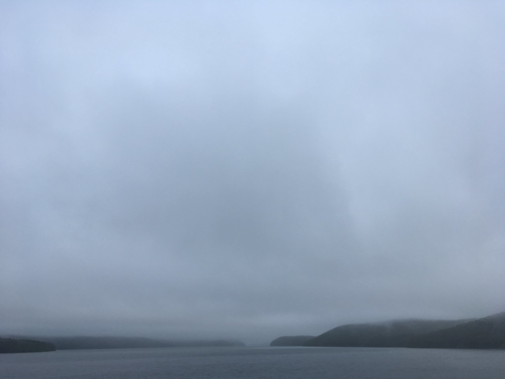
Winsor Dam (view at 6:30am), Quabbin Park, MA, Aug 22, 2021
Winsor Dam (view at 10:00am), Quabbin Park, MA, Aug 22, 2021
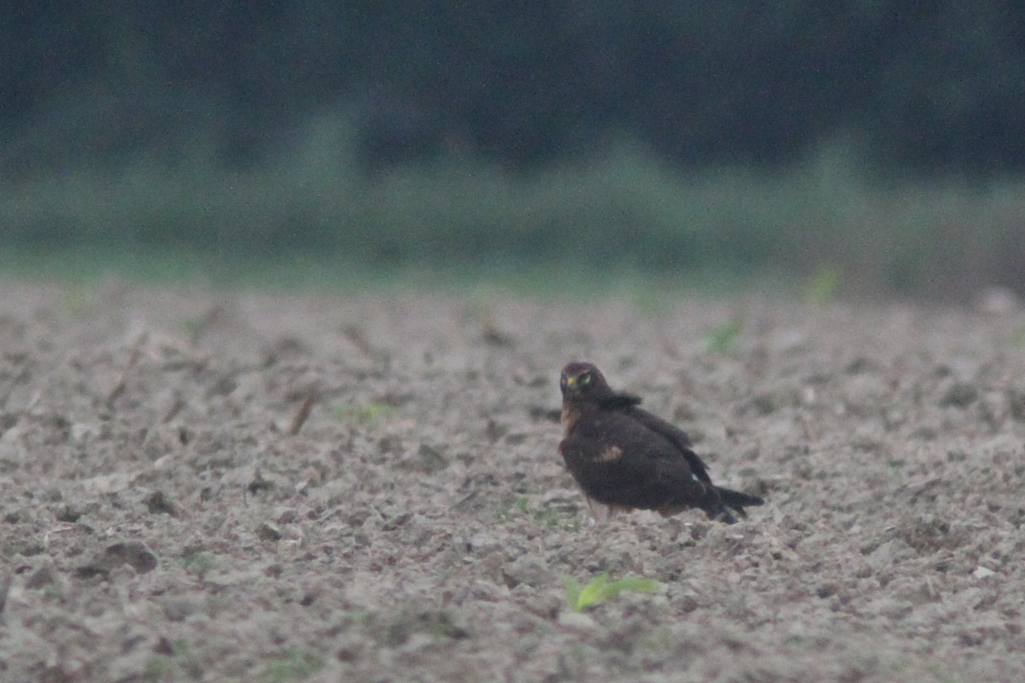
Peregrine Falcon, Winsor Dam, Quabbin Park, MA, Aug 22, 2021
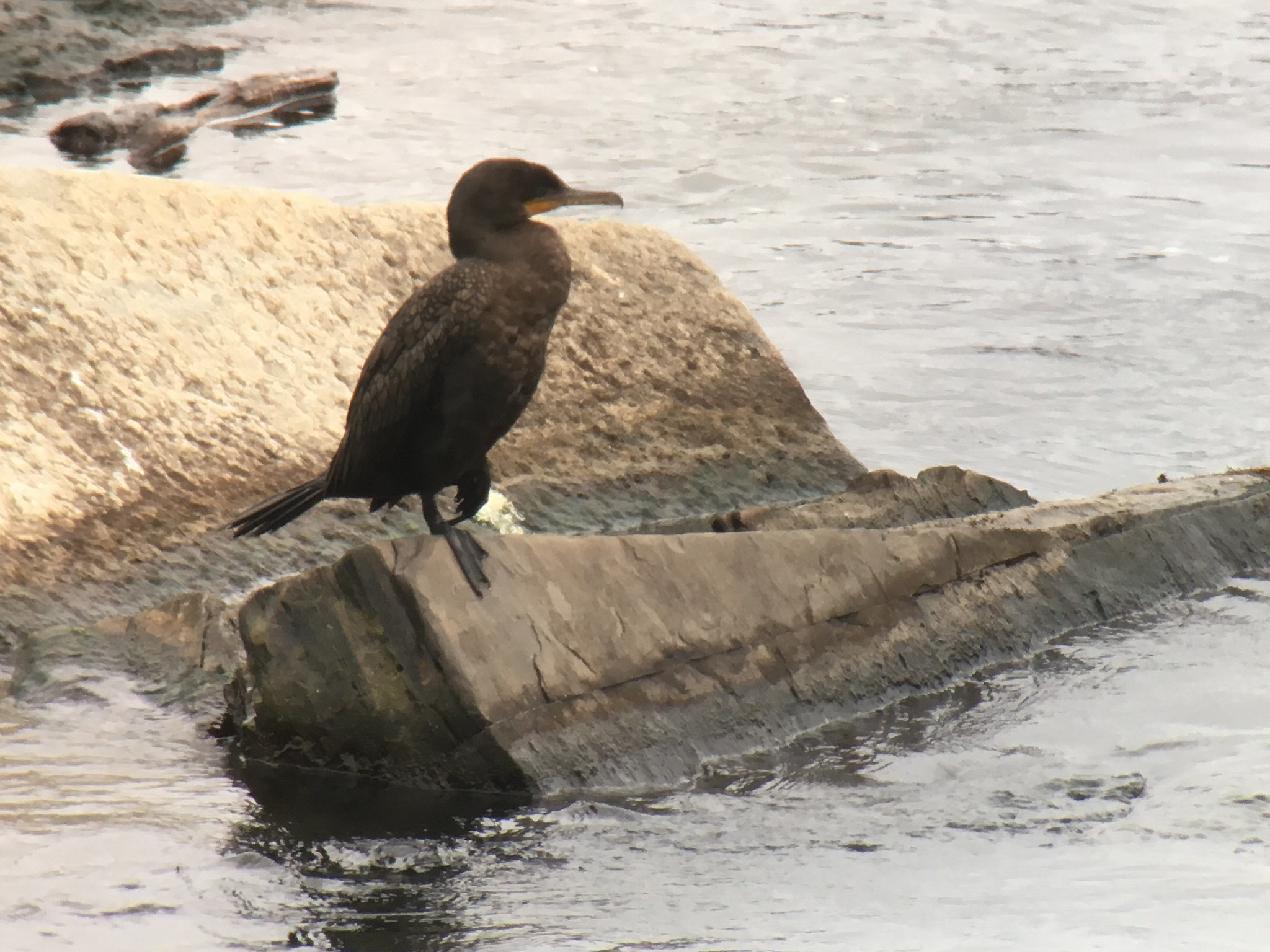
Double crested Cormorant, Winsor Dam, Quabbin Park, MA, Aug 22, 2021

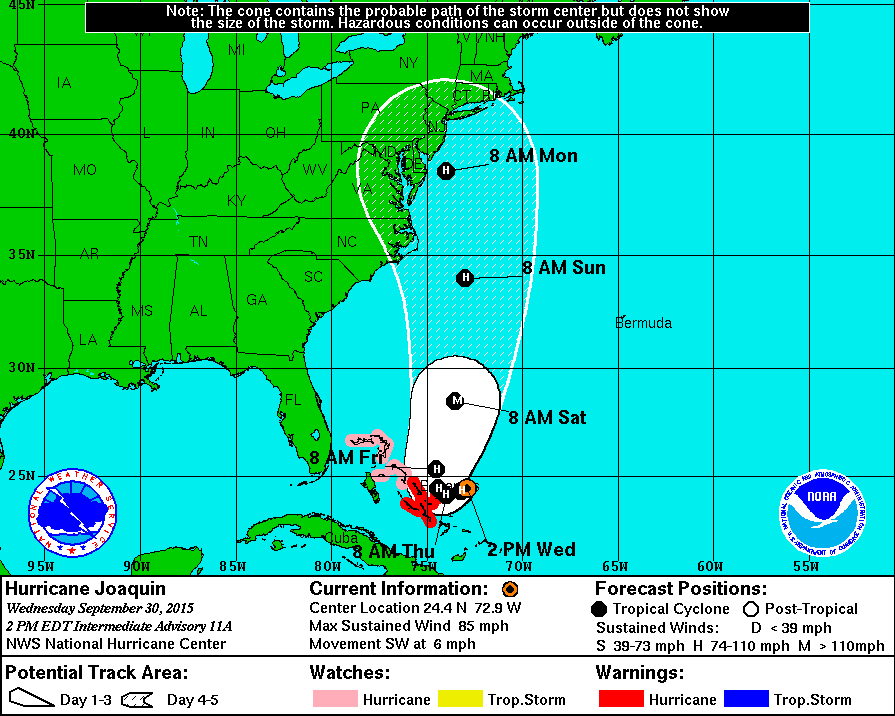
Hurricane Henri turned out to be a bit of a let down as far as birding was concerned with no large influx of pelagic species being deposited inland.  The set up looked perfect for the storm to bring in loads of unusual species but it never occurred.  There were many reasons it looked good including the date of storm in late August with lots of potential rarities out in the Gulf Stream as well as loads of shorebirds (and others) migrating south, the strength of the storm at landfall (forecast to be a Cat 1 hurricane but it actually was a high end tropical storm instead), the forecast to rapidly dissipate over land (making it easier and safer to chase), a track over the gulf stream and an impact to an area with lots of birders looking.  More on the potential of the storm and the tinking behind it can be found at the following link.  Unfortunately the predictions were wrong and the storm way underperformed in regards to displacing birds.  My strategy from the start was to be at Winsor Dam for a large portion of the day and that is exactly were I spent the majority of Sunday.  I arrived at the dam around 5:30 and stayed at the location for nearly five hours before taking a break at home.  Mary was already there when I arrived and the winds were starting to build out of the northeast (the direction they stayed all day).  The rain held off for the first few hours before we started getting some intermittent light rain.  The wind continued to increase and the rain soon did the same but not before we started getting some decent birds with a flyby Black bellied Plover around 7:30 and a Lesser Black backed Gull around 8:15.  It really did look like we were on our way to finding lots of good stuff.  A few more birders joined us as the conditions continued to deteriorate and despite a lot of effort we failed to turn up anything else unusual.  It was fun to watch some Chimney Swifts flying around in the wind (before most quickly returned to their roost in one of the chimneys on the administration building).  A Peregrine Falcon also made a number of passes and effortlessly moved around through the windy conditions.  

Winsor Dam (view at 1:25pm), Quabbin Park, MA, Aug 22, 2021

After an early lunch break at home I returned to Winsor Dam and the weather continued to deteriorate with near horizontal rain at times.  Despite another three hours at the dam the best I could find was an unidentified peep species that zipped by.  As reports from near the coast continued to show little in the way of storm related birds I headed for home for a bit.  After a phone call from Marshall in mid afternoon and some early dinner I once again stopped by the dam for another hour.  Ted was already there and despite our best efforts we failed to turn up anything noteworthy.  Despite a lot of effort by several people on Sunday we failed to turn up much of anything storm related.  Nonetheless it was fun to try although I have to admit I was disappointed as the storm looked so promising to bring in rarities during its arrival.  There was some consolation in seeing that most every other area being watched throughout the northeast also failed to find much from the storm so we were not alone in being disappointed...you have to take the position that even negative data is still data and will hopefully help us figure out the interaction of birds and tropical systems in the future.

Winsor Dam, Quabbin Park, MA, Aug 23, 2021
Wilson's Snipe, Granby, MA, Aug 23, 2021
Solitary Sandpiper, Granby, MA, Aug 23, 2021
Least Sandpipers, Granby, MA, Aug 23, 2021
Killdeer, Granby, MA, Aug 23, 2021
Spotted Sandpiper, Holyoke Dam, South Hadley, MA, Aug 23, 2021
Least Sandpipers, Holyoke Dam, South Hadley, MA, Aug 23, 2021
Northern Parula, Holyoke Dam, South Hadley, MA, Aug 23, 2021

On Monday morning I headed back again at dawn to Winsor Dam in the vain hopes of finding something unusual that dropped in overnight but I once again came up empty at the dam.  There was actually a bit of sun early on as Henri had moved off to our southwest and was centered in New York state on Monday morning. Although I had no luck in turning up any storm related birds I did have two nightjar species during the stop with at least two Eastern Whip Poor Wills still singing and a flyby Common Nighthawk. With little luck at the dam and ample rain during the storm I decided to make a few stops in search of shorebirds before having to return to the house to get a few things cleaned up after the storm. The small puddle in Granby that has featured a few shorebirds with a Wilson's Snipe showing well plus half a dozen Solitary Sandpipers as well as Least Sandpipers and Killdeer. My final stop was down to the Holyoke Dam where I had half a dozen Spotted Sandpipers and 13 Least Sandpipers. I checked multiple times through the roosting gulls in the hopes of finding something unusual but found only Ring billed Gulls.  As I was leaving I came across a small mixed species flock and had yet another early Northern Parula. 

Whimbrel, Oxbow, Northampton, MA, Aug 23, 2021

After arriving home I saw some interesting reports of rare shorebirds show up with the first being a Whimbrel at the Oxbow and then a report of initially 60, which was then revised up to 104, Hudsonian Godwits flying by in a single flock in Longmeadow.  Hudsonian Godwits are exceedingly rare inland many years between sightings.  The count of 104 is almost certainly the highest count ever for the species in western Massachusetts.  I have only seen the species once in the area and that was during Irene when we had a dozen flyby Winsor Dam.  I finally got the work done at the house and decided to try my luck in finding the Whimbrel before I had to head for work. At this point the remains of Henri were starting to pivot back through and the rain was starting to increase once again. I got good looks at the Whimbrel as it fed in a grassy field although it would occasionally disappear from view. I searched around for other stuff and was hopeful that the increasingly heavier rain would force more stuff down but I had no luck and was running short on time. Later in the afternoon I got a report from Steve of a Laughing Gull at the Oxbow and then more rarities started showing up including a Ruddy Turnstone and Black bellied Plover. The gull flew off after only a few people got to see it but the shorebirds stayed around for others to see it (unfortunately I was not one of them). The rain continued into the beginning of the overnight but came to an end around midnight.

Snowy Egret, Holyoke Dam, South Hadley, MA, Aug 24, 2021
Great Blue Heron and Great Egret, Holyoke Dam, South Hadley, MA, Aug 24, 2021

Today dawned clear and that unfortunately meant the unusual species from the day before had probably already left (this typically occurs with storm downed birds...as soon as the weather clears they head out).  Nonetheless sometimes bird do stick around so I headed out after work to check a few spots before having to be in Hadley for an appointment.  I started at Arcadia and the heavy rain of the previous day had raised the water levels in the river to the point where there was almost no sandbar left at the Oxbow.  There were no shorebirds or unusual gulls to be seen so I decided to try my luck at the Holyoke Dam (mainly hoping to relocate the Laughing Gull).  I had no luck finding the gull but I was initially hopeful as among the Ring billed Gulls were two young Herring Gulls that were likely the same individuals I had at Arcadia the day before.  The river was much higher and there was little in the way of habitat for any shorebirds.  While scanning the area I came across a small white egret and after a while it showed itself well enough to determine it was a juvenile Snowy Egret.  It was a tough bird to get good looks at but eventually it came out into the open for a bit.  I also checked a few other puddles and open fields but didn't find anything unusual.  It appears no one else found anything else unusual in the area this morning despite a lot of people looking.

The tropics continue to be active with three more areas of potential development over the next several days including an area off Central America into the southern Gulf of Mexico, an area to the east of Bermuda and another wave coming off of Africa a few hundred miles southwest of the Cabo Verde Islands.  None of these are any threat at all to this area in the foreseeable future but always worth keeping an eye on the tropics as hurricane season peak is approaching.  

Friday, August 20, 2021

The remnants of one tropical storm and an upcoming hurricane

Least Sandpipers, Honey Pot, Hadley, MA, Aug 20, 2021
Winsor Dam, Quabbin Park, MA, Aug 20, 2021
Winsor Dam, Quabbin Park, MA, Aug 19, 2021

The tropics have certainly gotten much more active and there appears to be a high likelihood that a hurricane will have a direct impact on New England within the next few days (more on that below).  First I will take a look at the remnants of Tropical Storm Fred that moved through the area yesterday with the main impact being heavy rain and some wind (lost a few trees at home and spent today cutting those up). I was able to get out to check a few spots before an overtime shift yesterday morning but came up empty for unusual birds at both Winsor Dam and some farm fields in Hadley. I didn't see reports yesterday from anyone else of unusual species or numbers beyond a decent showing of Least Sandpipers (with at least 92 present) at the drained Watershops Pond in Springfield.  I had a little better luck after getting out of work this morning.  The weather continued to be very tropical like with high humidity and intermittent showers and drizzle.  I found a few species of shorebirds during my few stops on the way home with the best being a single Black bellied Plover that was flushed from its hiding place by a young Peregrine Falcon.  Other shorebirds around included Least Sandpiper, Spotted Sandpiper, Greater Yellowlegs and Killdeer.
Track forecast of Henri as of 2PM, Aug 20, 2021 (image courtesy of NOAA)

Now on to the main focus of this post which is Henri. It is currently a strong tropical storm located about halfway between the mainland US and Bermuda moving slowly west, northwest. There is currently some wind shear that is keeping the storm capped in strength a bit but this is forecast to weaken and the storm will almost certainly gain hurricane status as it takes a turn to the north and heads toward New England (possibly Category 2 for a time). There are many atmospheric variables at play here but it is looking more and more likely that the storm will landfall into southern New England as a Category 1 hurricane on Sunday and then slowly move through southern New England before turning east into the Gulf of Maine with another landfall in Nova Scotia. It is quite unusual for a hurricane to hit New England with the last landfalling hurricane about 30 years ago.  How does this impact the western Massachusetts area? It will certainly bring heavy rain (especially if the track remains off to our east). Wind could certainly be a major issue if the storm tracks further west with the eye closer to us. 

Now to the impact on birds for the area. Without question any tropical system can bring with it the chance for birds very seldom seen in the area with pelagic species of many types being the main focus. The storm began near Bermuda and has slowly moved southwest and then west and is now over the Gulf Stream. There are a wide variety of species that could be caught up in the storm and be transported inland as the storm moves north. Typically the most productive location for finding unusual species is just to the east of the eye (which at this point will be east of us here in western Massachusetts). With that said unusual stuff can still show up to the west of the track and it would be well worth the effort to get out and see what one can find and the track can still shift more to the west.

The question is always where do you put yourself for the storm?  There are many spots that could be productive from large lakes and reservoirs to multiple locations along the Connecticut River.  It is best to pick a spot that you can spend some time at and is somewhat close to your home so you have a higher likelihood of being able to get to the location (and then back home!) if the storm starts causing road closures due to downed trees, wires, etc.  Even small ponds and lakes could be productive during these types of storms.  Timing on the storm could produce birds from Sunday through Tuesday.  There are many variables to consider when picking a spot but always keep your safety in mind so a spot closer to home is sometimes the best choice.  I would highly encourage everyone to check nearby bodies of water, flooded fields and even just overhead as the storm moves through.  There are many possible unusual birds that could show up in a storm like this from pelagic birds that are seldom seen from shore to coastal birds pushed inland to migrants (like shorebirds) grounded by the storm.  Many times the birds offer just fleeting glimpses in less than ideal viewing conditions but if you can get any photos it can help with ID and documentation and I encourage people to post there sightings to the Facebook group and enter their sightings into eBird.

I have an older post that may assist people in what to expect with the upcoming storm including an overview of tropical systems in western Massachusetts as well as an eBird list from an epic day of birding here ten years ago during Irene.  I will post additional information as I can both here and on Facebook.

Tuesday, September 11, 2018

The latest on Hurricane Florence and rainy, cool weather here

Hurricane Florence projected path as of 2PM, Sep 11, 2018 (courtesy of  NHC)
It now seems almost certain that Hurricane Florence will make landfall somewhere in the southeast with the most likely spot somewhere in the North or South Carolina.  It has continued to regain strength and is now a Category 4 storm and is forecast to make landfall early Friday morning as a Category 3 or 4 storm which would bring catastrophic damage to the area that it strikes.  After landfall it should rapidly weaken to a tropical storm but due to no real atmospheric mechanism in place to move it alone with will slow down and dump copious amounts of rain inland resulting in severe flooding.  The storm looks to be too far away to have any real impact in the northeast at this point.  The storm is certain to displace and down a number of species and it will be interesting to see what turns up over the next several days.  I imagine some incredible species will make appearances that one can only find inland following the arrival of tropical systems.  There are a few examples of similar storms hitting this area of the country including Hurricane Hugo back in 1989 and Hurricane Fran in 1996.  Hurricane Hugo was a devastating storm that brought severe damage well inland but nonetheless some people were able to get out to see some storm birds with the following examples from that storm: Jordan Lake in North CarolinaLake Norman in North Carolina.  Hurricane Fran produced some incredible inland records of multiple species at large bodies of water and this storm is almost certain to produce similar reports.  A few examples include John Kerr Reservoir in VirginiaJordan Lake in North CarolinaAuman Lake in North Carolina
American Golden Plover, Holyoke Dam, South Hadley, MA, Sep 10, 2018
American Golden Plover and Spotted Sandpiper, Holyoke Dam, South Hadley, MA, Sep 10, 2018
Double crested Cormorant, Holyoke Dam, South Hadley, MA, Sep 10, 2018
Northern Harrier, Hatfield, MA, Sep 10, 2018
Dawn, Honey Pot, Hadley, MA, Sep 10, 2018
Winsor Dam, Quabbin Park, MA, Sep 11, 2018
Before the remnants of Gordon arrived yesterday Devin and I went out to see what we could find on another rather cool and breezy day.  The forecast had called for rain arriving before dawn but it did not materialize until late in the morning so no luck for us finding any birds put down by the weather.  Nonetheless we still turned up some good stuff for the morning including four Great Egrets at the Honey Pot, a Northern Harrier and a couple Osprey in Hatfield and at least 145 Chimney Swifts, an American Golden Plover and a couple Yellow Warblers at the Holyoke Dam.  We managed to add two new species to Devin's county list for the year (the plover and Mute Swans) as he heads toward his goal of 200 species for the year.  The rain finally arrived late in the morning and continued throughout the remainder of the day and into today.  I stayed local this morning staying around Quabbin Park which was quite quiet with not many birds in evidence which was not really a surprise given the conditions of drizzle and cool temps.

Wednesday, September 6, 2017

Hurricane Irma update

Hurricane Irma striking Barbuda, Sep 5, 2017
Hurricane Irma projected path as of 8AM, Sep 6, 2017
Hurricane Irma strengthened further yesterday becoming a very dangerous high end Category 5 hurricane with winds that reached 185 MPH sustained with higher gusts (only one other storm in the Atlantic, Hurricane Allen in 1980, had stronger winds at 190 MPH).  The pressure has dropped to 916 mb and the storm looks to maintain this strength or become even stronger. There is really nothing of consequence stopping the storm as the conditions are damn near perfect for it. At this point the northern Lesser Antilles have already been directly impacted with the storm hitting Barbuda last night and Saint Martin getting hit now.  The islands that take a direct hit will undoubtedly experience catastrophic destruction...a storm of this power will level most everything. Irma becomes one of the strongest hurricanes ever in the Atlantic basin and the strongest storm ever outside of the Gulf of Mexico or north of the Caribbean so a record breaking storm already. The projected storm track continues to show the storm being a major threat for a direct hit to the Turks and Caicos and the Bahamas and the Greater Antilles before almost certainly having a direct impact to the United States. Florida is almost certainly to be hit but the real question is exactly where on the peninsula.  The latest guidance points away from the storm making it across the peninsula and impacting the Gulf of Mexico side but instead the storm is likely to track up the peninsula or stay just offshore on the east coast...still question marks but make no mistake the storm will impact the US mainland in some form.

What effect will the storm have on bird life? Migrants will likely fly around the storm (if they have the ability) but many will certainly perish in the storm. The birds on the islands will also take a major hit with winds from a Category 5 storm but hopefully they will find some places to hide out and ride out the storm.  There are a number of endemic species that could suffer some heavy loss due to their restricted range on some of the islands being directly impacted (the Barbuda Warbler comes to mind as one example).  Pelagic birds will certainly be entrained within the storm and once landfall occurs the birds that survive will be dumped inland...where that happen will depend on the track of the storm...more on that later.

There is also a newly named storm (TS Jose) behind Irma that also could develop into another hurricane and track up through the northern Lesser Antilles but more about that at a later time.

Wednesday, September 30, 2015

Update on Hurricane Joaquin


Hurricane Joaquin forecast track as of 2PM, Sep 30, 2015 (map courtesy of the NHC)
Tropical Depression 11 developed into Tropical Storm Joaquin yesterday and into Hurricane Joaquin today. As mentioned a few days ago when the depression was just forming, the potential exists for the storm to eventually have an impact here (or at least somewhere on the east coast). The current projection shows the storm continuing to develop and intensify and slowly begin to move in a northerly direction, possibly reaching Category 3 strength. The storm is over historically warm waters at this point and the main item that has kept it from intensifying even quicker has been continued wind shear.  The real question is where it goes after turning north. It could curve more northwestward and impact areas to our south or continue north and impact western mass directly or be curved out to sea. The latest guidance puts the track more west than east with an impact somewhere along the east coast. There various forecast models are having a tough time figuring out a high confidence track for the storm as there are many variables that could interact with the storm and change the actual track, especially out beyond a few days. Regardless of the final path we are likely to at least get some heavy rain and wind from the storm.  I will update over the coming days. 

Link to some additional related information regarding the storm and related birds can be found at a Birdcast post here:  http://birdcast.info/forecast/special-alert-upper-midwest-and-northeast-tropical-storm-joaquin/

A link to tropical system related birds in western Massachusetts as well as various of useful links related to tropical weather can be found at this link from an earlier post:
http://quabbinbirdingandbeyond.blogspot.com/2015/02/a-look-at-tropical-storm-related.html

Below is the projected storm location and strength for the next five days.

FORECAST POSITIONS AND MAX WINDS

INIT  30/1500Z 24.7N  72.6W   70 KT  80 MPH
 12H  01/0000Z 24.3N  73.2W   80 KT  90 MPH
 24H  01/1200Z 24.1N  74.0W   85 KT 100 MPH
 36H  02/0000Z 24.4N  74.4W   90 KT 105 MPH
 48H  02/1200Z 25.3N  74.5W   95 KT 110 MPH
 72H  03/1200Z 28.5N  73.5W  100 KT 115 MPH
 96H  04/1200Z 34.0N  73.0W   90 KT 105 MPH
120H  05/1200Z 38.5N  74.0W   75 KT  85 MPH


Last night and today we have dealt with heavy rain associated with a variety of weather features and the rains produced 5"+ of rain leading to some local flooding.  Beyond a few species of waterfowl likely being forced down I have not seen nor heard of anything way out of the ordinary associated with the heavy rain of yesterday and today.

Monday, February 16, 2015

A look at tropical storm related species in western Massachusetts

As the weather pattern continues to bring us more snow (another 7" yesterday), cold temperatures (high today around 10 with lows tonight -10) and wind (wind chills down to -35) I have more free time indoors to spend on researching some interesting (at least in my mind) local bird related topics.  My first topic will involve one of my favorite topics of hurricane related bird sightings.  I will look at a variety of systems that have impacted the area, the tracks the storms took and the unusual species they produced.  As I'm sure over time I will find additional information concerning storm related birds in western Massachusetts as I do more research, I will add to this post as I find info.

A great background piece on general hurricane birding (and a bit of detail on Irene) can be found on the eBird website at the following link: http://ebird.org/content/ebird/news/hurricane_irene_redux/


New England Hurricane of 1938 track (map courtesy of weatherunderground)
The great Hurricane of 1938 that hit the area on September 21, 1938 as a category 3 storm at landfall tracked over Long Island and then up through Connecticut and through the Berkshires.  The storm is legendary in its intensity at landfall and the speed at which it arrived here as well as the enormous damage that it caused. Although there were certainly many birds involved, the number of birders and flow of information was much lower than today so the records from the area include only the following: 
A Cory Shearwater was found in Peru in Berkshire County on September 28 (only western mass record ever).

A Greater Shearwater was found in Montgomery on the day of the storm (only western mass record ever).

A Sooty Tern was found on the day of the storm in Northampton.

Multiple reports of Leach's Storm Petrels in Southwick, Holyoke, Northampton and on the Mongomery/Huntington line.

An interesting article about the storm and the birds it deposited can be found in The Auk (The AOU's quarterly journal) from April 1939.  I have included an excerpt below about other species that arrived with the storm.

Nighthawks, swifts and swallows--none of which had been seen in western Massachusetts for several days before the hurricane--were indubitably blown back by it. At Northampton some were seen amidst the storm, and next morning; and "thousands" assembled together on September 23. At Williamsburg, two Purple Martins appeared at 8 a.m. on September 25 (and one in Marshfield, September 29)! One Nighthawk was seen as late as September 27. Gulls were blown up the Connecticut Valley in large numbers. On the morning of September 22, "a great many" were at Lake Congamond, Southwick (in the supposed path of the storm's very center), and A. C. Bagg at Holyoke saw not only Herring Gulls but five or six Laughing (very rare there), four or five Bonaparte's (rare), and two or three Ring-billed Gulls. Terns were visitors still more exciting. Just before sunset on September 21, when the worst of the hurricane had passed, one Northampton observer saw, besides one petrel, four terns, three of which struck him as immature Sooties. Of course they went by him too fast for any certainty; and the only hurricane record of that species (which other, past hurricanes have several times brought to us) that I have seen is from ManerviIle, Long Island, during the lull when the center of the storm was passing there (Bird-Lore, 1938, p. 459). For several days following September 21, terns were present at Hadley (flooded), too far away for specific identification; and at the Holyoke dam on September 24 I saw one adult and two immature Common Terns, and on September 26, one adult, one immature, and an adult Forster's Tern. Far to the north-east, at Athol, a Common Tern was seen on September 22. (The Auk, April 1939, pg 178).

Link to full article in The Auk below:
https://sora.unm.edu/sites/default/files/journals/auk/v056n02/p0176-p0179.pdf


Hurricane Diane track (map courtesy of weatherunderground)
The next tropical system to bring some unusual birds into western Massachusetts was Hurricane Diane that hit the area on August 18, 1955 and brought a Sooty Tern to Pittsfield.  The track was not optimal for bringing storm related birds to western mass as the track was to our south but obviously the discovery of a Sooty Tern means birds can turn up even with a less than optimal track.

                                           Hurricane Belle track (map courtesy of weatherunderground)


Hurricane Belle hit on August 10, 1976 and brought with it a Wilson’s Storm Petrel to the Connecticut River in Longmeadow.  The bird was seen along with Leach’s Storm Petrels flying along the river.  This hurricane also brought in several Least Terns to the area including two at Congamond Ponds in Southwick, another along the river in Agawam and another to the oxbow in Northampton.  Besides the Least Terns associated with this storm the only other report of this species occurred in Longmeadow on August 26, 1971 which does not correspond with a tropical system on or before that date but Hurricane Doria came through the area just after August 26 so perhaps the date of the report is in error?  I will have to dig a bit more the try to figure this info out.

                                                   Hurricane David track (map courtesy of weatherunderground)
Hurricane David tracked through the area on September 6, 1979 and produced a Wilson’s Storm Petrel in Dalton on September 7.  It also brought a handful of Sooty Terns to the area including one in Holyoke and another n Longmeadow on the day of the arrival of the storm and another one to Middlefield on September 9.


                                     Hurricane Gloria track (map courtesy of weatherunderground)

The arrival of Hurricane Gloria on September 27, 1985 produced a few Wilson’s Storm Petrels including two (with Leach’s Storm Petrels) in Agawam and a single individual from Stockbridge.  The storm also produced a Royal Tern at Turners Falls (the only western mass record of this species). 
Hurricane Irene track (map courtesy of weatherunderground)
I have birded a couple of tropical systems including Hurricane Irene and Hurricane Sandy with Irene being the most productive for displaced birds with a near perfect track for bringing stuff our way (the storm tracked near the Connecticut River putting Quabbin just east of the track).  The highlights from this storm were many and included the following: 

-Wilson's Storm Petrels in Pittsfield at Pontoosuc Lake and another found dead (and salvaged) in Northampton
-Leach's Storm Petrel at south Quabbin (which I sadly missed as I left just before it arrived)
-unidentified storm petrel species at Onota Lake in Pittsfield
-White tailed Tropicbird at south Quabbin and another one at Onota Lake
-Parasitic Jaeger at south Quabbin (plus at least one other unidentified jaeger at same location)
-Sooty Tern at south Quabbin and Onota Lake

Irene also produced a fabulous showing of shorebirds with following species and numbers noted at Winsor Dam:
-Black bellied Plover (7)
-American Golden Plover (2)
-Greater Yellowlegs (1)
-Whimbrel (1)
-Hudsonian Godwit (12)
-Ruddy Turnstone (4)
-Baird's Sandpiper (1)
-Red/Red necked Phalarope (1)
-small peep (1)
-large shorebird (11)

The full list for the day from Marshall gives a real feel for the excitement of the day- http://ebird.org/ebird/view/checklist?subID=S8750565
A few days after the passage of Irene I was at Covey WMA in Belchertown and came across a large swift species flying south along with Common Nighthawks.  I was unable to definitively identify the bird but it may very well have been a Black Swift displaced by the storm. Below is a link to an earlier post regarding this sighting:
http://quabbinbirdingandbeyond.blogspot.com/2012/03/hurricanes-and-swifts-with-look-at.html


Hurricane Sandy track (map courtesy of weatherunderground)
Although Hurricane Sandy didn't have a major impact here it nevertheless produced a variety of birds in the area with the primary species being seaducks (scoters, long tailed ducks, etc) plus a couple of Black legged Kittiwakes (one of which I was able to find at Winsor Dam and the other seen by James Smith up in Turners Falls...link to my blog post from that day- http://quabbinbirdingandbeyond.blogspot.com/2012/11/black-legged-kittiwake-at-quabbin-and.html).  A Red Phalarope was also seen in Turners Falls and another was found dead and collected at Mount Holyoke College in South Hadley.

A link from eBird with some additional details on the lead up to Hurricane Sandy can be found at the following link:  http://ebird.org/content/ebird/news/hurricane-sandy/
Another link to sightings from Sandy can be found here: http://www.nemesisbird.com/news/tropical-storm-sandy-rare-bird-liveblog/ 

Besides the pelagic birds blown in or put down by the tropical systems these storms can also produce some fallouts of shorebirds as the birds migrate south or if the storm is late in the season, waterfowl.  Details on these occurrences with early storms is tough to find information on but shorebirds were well documented during Irene and Sandy (see info above). 

Here is a list of pelagic/coastal birds and the number of individual occurrences by county in western Massachusetts.  Many of these are storm related but some are not.  A few of these were counts of more than a single individual present at location.  (B=Berkshire,  F=Franklin, HD=Hampden, HP=Hampshire). 
Audubon Shearwater – 1 (HD)

Cory Shearwater  -1 (B)

Greater Shearwater -1 (HD)

Leach’s Storm Petrel –multiple reports from various storms
Wilson’s Storm Petrel – 2 (B), 3 (HD), 1 (HP)

American White Pelican – 1 (F), 1 (HD), 2 (HP)

Brown Pelican -1 (HD)

White tailed Tropicbird - 1 (B), 1 (HP)

Northern Gannet -2 (B), 1 (HP) + 1 in town of Enfield that now lies under the waters of Quabbin
Parasitic Jaeger -1 (B), 1 (HP)

Little Gull - 1 (B)

Franklin's Gull - 1 (B), 1 (F), 1 (HD), 1 (HP)

Laughing Gull- 2 (B), 2 (HP)

Mew Gull- 2 (HP)

Sabine's Gull- 1 (HP)

Black legged Kittiwake- 1 (B), 2 (F), 3 (HP)

Caspian Tern - multiple records during inclement weather during spring and fall migration
Royal Tern -1 (F)

Common Tern- multiple records during inclement weather during spring and fall migration
Arctic Tern- 1 (B), 1 (HD), 2 (HP)

Forster’s Tern- A handful of spring records with most records in fall (usually associated with tropical systems)...more details on these records later.
Least Tern- 4 (HD), 1 (HP)

Black Tern-  multiple records during inclement weather during spring and fall migration
Sooty Tern -1 (B), 3 (HD), 2 (HP)

Thick billed Murre- 4 (B), 1 (F)
Razorbill -1 (F)

Black Guillemot- 1 (HP)
Atlantic Puffin- 1 (B)

As you can see from these records there are many possibilities for pelagic/coastal birds to reach western Massachusetts with many of these associated with storms (both tropical and non tropical).  I will go into more detail on species associated with non tropical system in a future post.

When the next tropical system approaches the area the following websites can be quite helpful to check for updates and information (websites besides this one which will certainly have some info when a storm threatens!).
http://birdcast.info/
http://ebird.org
http://www.nemesisbird.com/

General websites with great forecasts and insight into Atlantic tropical weather can found at the following links:
http://www.nhc.noaa.gov/
http://www.wunderground.com/blog/JeffMasters/show.html
http://www.tropicaltidbits.com/


I used a variety of sources for the information and maps included in this post including the following:
MARC website-  http://www.maavianrecords.com/

eBird website-  http://ebird.org/

weatherunderground.com website - http://www.wunderground.com/

The Auk, April 1939 "Hurricane aftermath", pg 177-179.  https://sora.unm.edu/sites/default/files/journals/auk/v056n02/p0176-p0179.pdf

Bird Observer article "Western Massachusetts Rarities", Kellogg, Seth and Smith, James, Feb 2007, pages 15-29.

North American Birds. "Changes Seasons: Driven", Farnsworth, Andrew and Iliff, Marshall, pg 23-28 and "New England", Ellison, Walter and Martin, Nancy, pg 37-42.

Birds of Massachusetts, Veit, Richard and Petersen, Wayne, 1993

Monday, October 29, 2012

Hurricane Sandy birding

Bufflehead, Winsor Dam, Quabbin Park, Oct 29, 2012

Bufflehead, Winsor Dam, Quabbin Park, Oct 29, 2012

View from Winsor Dam early morning, Oct 29, 2012

The storm has finally started to have an impact here.  Although the storm is still forecast to make landfall tonight along the southern New Jersey coast we will be effected by it in the form of some strong winds.  I started the morning at Winsor Dam with Ian Davies and Keenan Yakola and we had a few birds including two Long tailed Ducks, 15 Bufflehead, a few Common Loons and a number of Ring billed Gulls.  They stayed through 9:30 or so and then they departed and  I headed for home for a little while too.  I returned to Winsor Dam around 10:30 and stayed through noon and added a Double crested Cormorant plus one group of Bufflehead.  The winds continued to pick up from the northeast during the morning with sustained winds around 25 with gusts above 40 MPH.  The visibility was quite variable depending on the amount of rain coming down.  Overall the morning was rather uneventful birdwise but the conditions were not optimal for producing great numbers of odd birds.  I did see a report from yesterday from Tom Pirro at north Quabbin of a Common Eider (VERY unusual inland) so the potential is there for good stuff to show.  The coastal areas of Massachusetts have been seeing impressive numbers of sea birds being pushed in close to shore.  Perhaps some will make it inland to Quabbin?  I will be out checking as conditions allow and I will update as I can depending on if the power stays on.

View from Winsor Dam early afternoon, Oct 29, 2012

Windfield map as of 11am, Oct 29, 2012

Projected path as of 2pm, Oct 29, 2012
I returned to Winsor Dam early this afternoon and found the winds and rain had increased even more which made viewing quite difficult and limited the birds seen to a single Ring billed Gull in an hour of watching!  The time of landfall in New Jersey is suppose to be around 6pm tonight so we should continue with strong winds here for the next several hours. 

View late in afternoon, Oct 29, 2012
Another stop later in the afternoon was equally unproductive with only one bird seen in a half hour...a Ring billed Gull.  The winds were really strong and the rain heavy so yet again, viewing was quite difficult.  Hopefully tomorrow morning will be productive there.