Showing posts with label hurricane joaquin. Show all posts

Saturday, October 3, 2015

A windy day spent around Quabbin


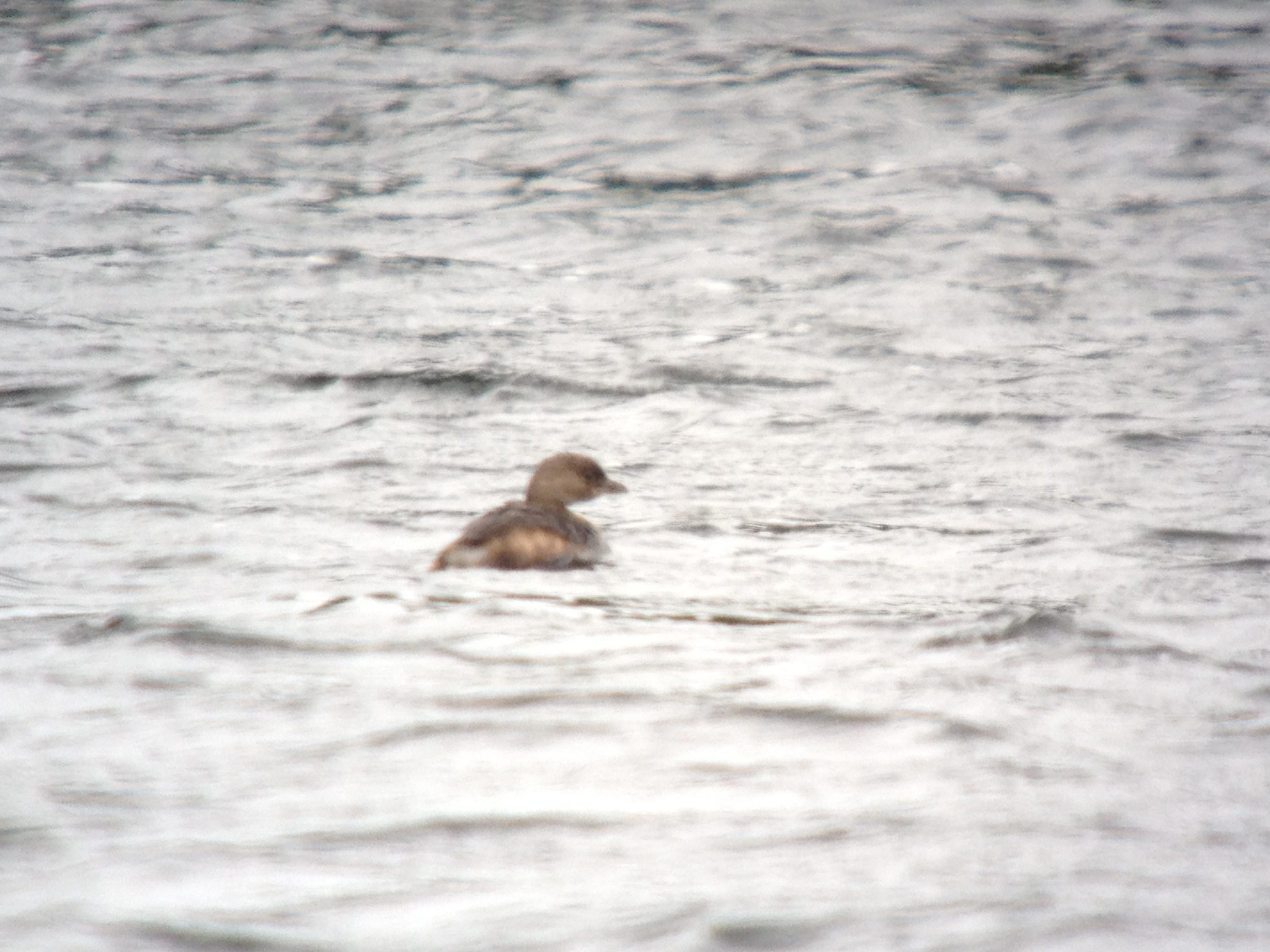
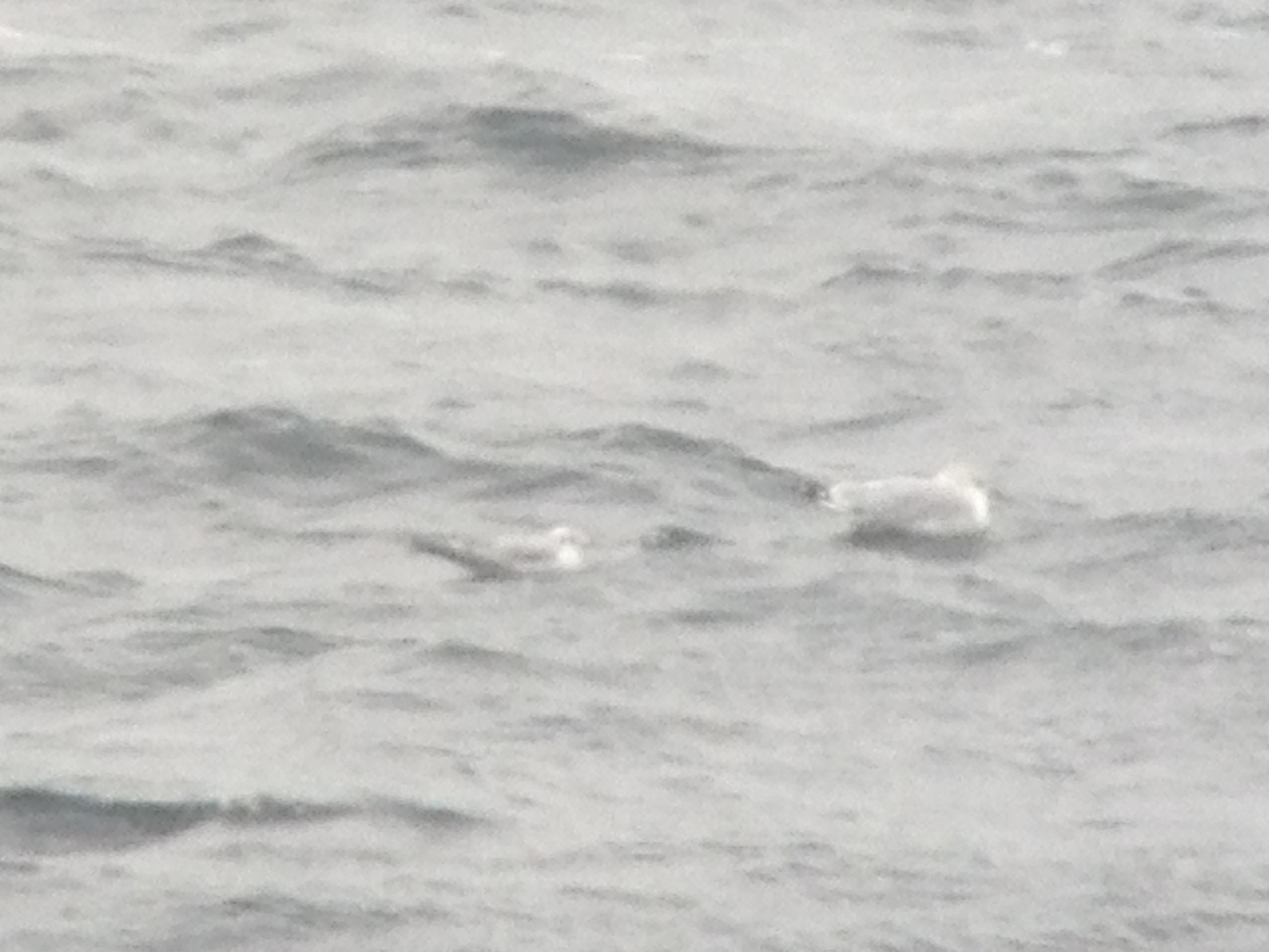
Bonaparte's Gull (with Ring billed Gulls), Winsor Dam, Quabbin Park, MA, Oct 3, 2015
Bonaparte's Gull (with Ring billed Gull), Winsor Dam, Quabbin Park, MA, Oct 3, 2015
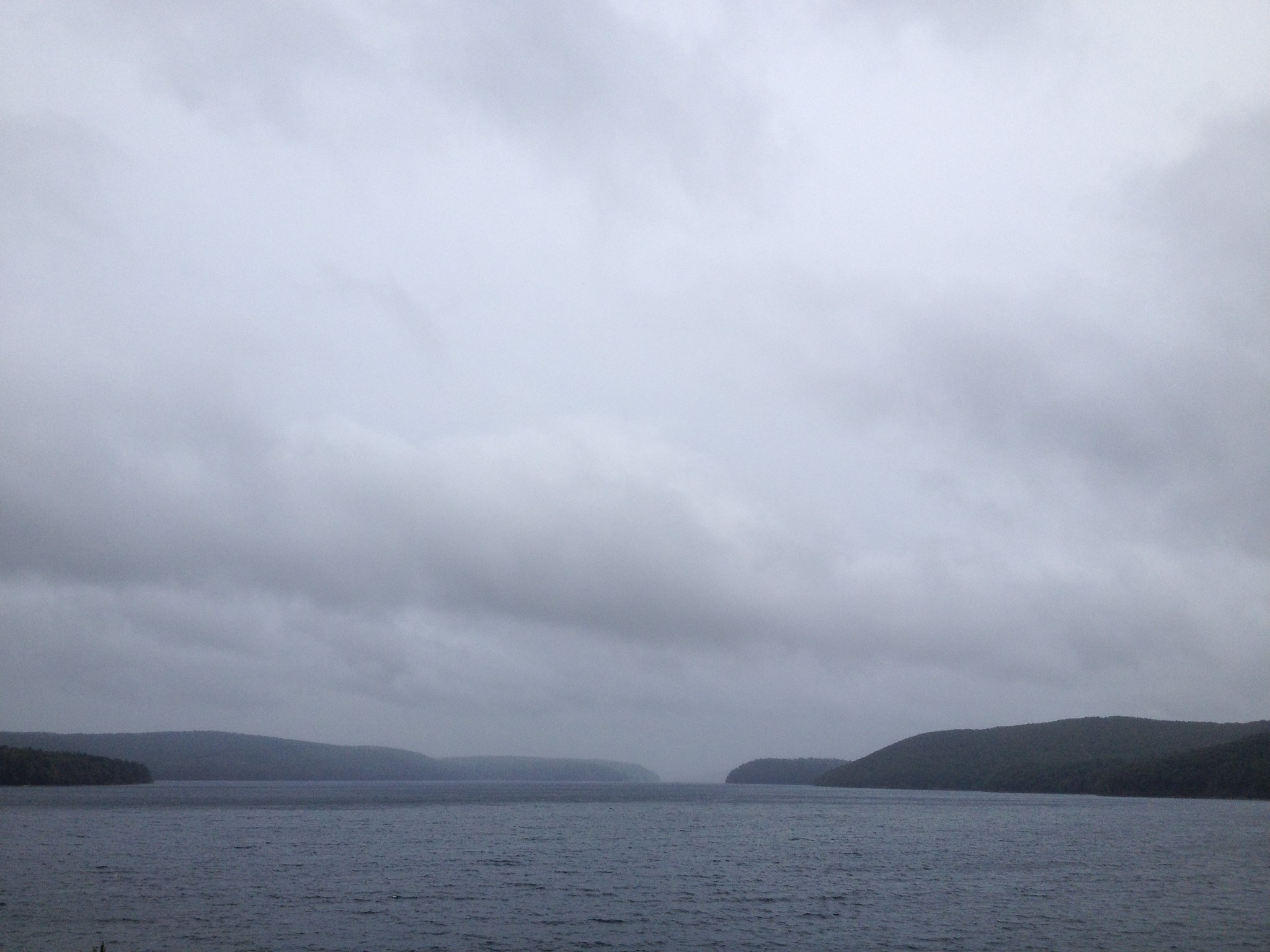
Winsor Dam, Quabbin Park, MA, Oct 3, 2015
The strong northeast winds continued all day today along with rain and drizzle until after midday with a temperatures in the 40's made for some very miserable conditions outside.  I nonetheless spent hours trying my best to turn up something unusual.  The best I could do was a Bonaparte's Gull at Winsor Dam in among nearly a hundred Ring billed Gulls (and one Herring Gull).  I picked up the bird as it flew in with a group of gulls and then settled on the water before disappearing later on.  Distance and poor weather conditions made trying to get photos a bit difficult but I managed a few marginal shots.  The numbers of gulls present throughout the day was quite variable with the highest numbers during the worst weather of the morning.    I made a number of stops at Winsor Dam over the course of the day as well as stops at Quabbin Park, Beaver Lake and Lake Wallace.  Not much at any of these spots but I did turn up nearly fifty Wood Ducks at the Route 9 marsh.  Once the rain lifted later in the day there were a few raptors moving but few species of waterfowl.  Another noteworthy sighting occurred when I lifted my head from viewing through the scope to see a Cooper's Hawk zipping past me at eye level just a few feet away as it went past me to try for a Gray Squirrel (which it barely missed).  Late in the day at Winsor Dam I had a brief look at a swallow species that went zipping past...too brief of a look in poor light to say for certain what species it was.  

A few (of many) lists from today:

Quabbin Park: http://ebird.org/ebird/view/checklist?subID=S25276166
Winsor Dam:  http://ebird.org/ebird/view/checklist?subID=S25275795
Winsor Dam: http://ebird.org/ebird/view/checklist?subID=S25279659
Winsor Dam: http://ebird.org/ebird/view/checklist?subID=S25282469

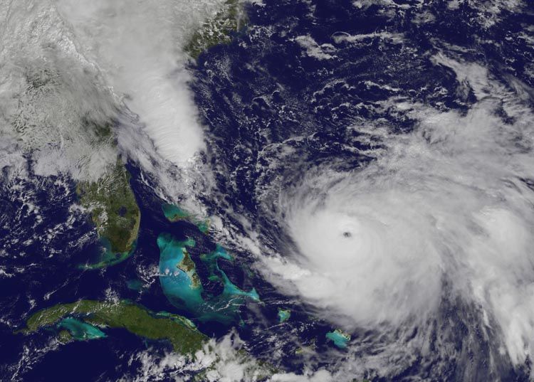
Satellite image of Hurricane Joaquin showing well defined eye as a strong Category 4 storm and large plume of moisture streaming into the carolinas, Oct 3, 2015 (image courtesy  NASA/GSFC)
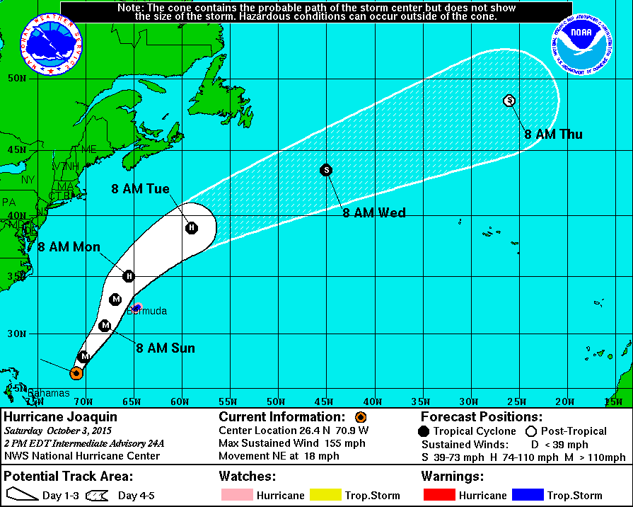
Hurricane Joaquin projected path as 2PM, Oct 3, 2015 (courtesy NHC)
Hurricane Joaquin has finally started to move away from the Bahamas but it actually strengthened again to nearly Category 5 status with winds at 155MPH.  Truly amazing given the area the storm is in and the fact that there is a very strong El Nino.  It appears the incredible warm waters in the area are really powering up the storm.  It is still forecast to head rapidly off the the northeast, way off shore from the US and far enough away from Bermuda to spare them a direct hit.  The storm is likely to displace some birds all the way over to Europe and I'm sure some really unusual stuff will show up over there.  The storm (along with some other weather features) continues to funnel copious amounts of moisture into the areas of the carolinas with historic flooding conditions being the result. 

Below are the latest projected positions and wind speed per the NHC. 

FORECAST POSITIONS AND MAX WINDS

INIT  03/1600Z 26.0N  71.6W  135 KT 155 MPH
 12H  04/0000Z 27.9N  70.2W  130 KT 150 MPH
 24H  04/1200Z 30.7N  68.0W  115 KT 130 MPH
 36H  05/0000Z 33.0N  66.9W  100 KT 115 MPH
 48H  05/1200Z 35.0N  65.5W   80 KT  90 MPH
 72H  06/1200Z 39.0N  59.0W   70 KT  80 MPH
 96H  07/1200Z 43.5N  45.0W   60 KT  70 MPH
120H  08/1200Z 48.5N  26.0W   55 KT  65 MPH...POST-TROP/EXTRATROP

Friday, October 2, 2015

Hurricane Joaquin headed out to sea but sustained period of northeast winds continue


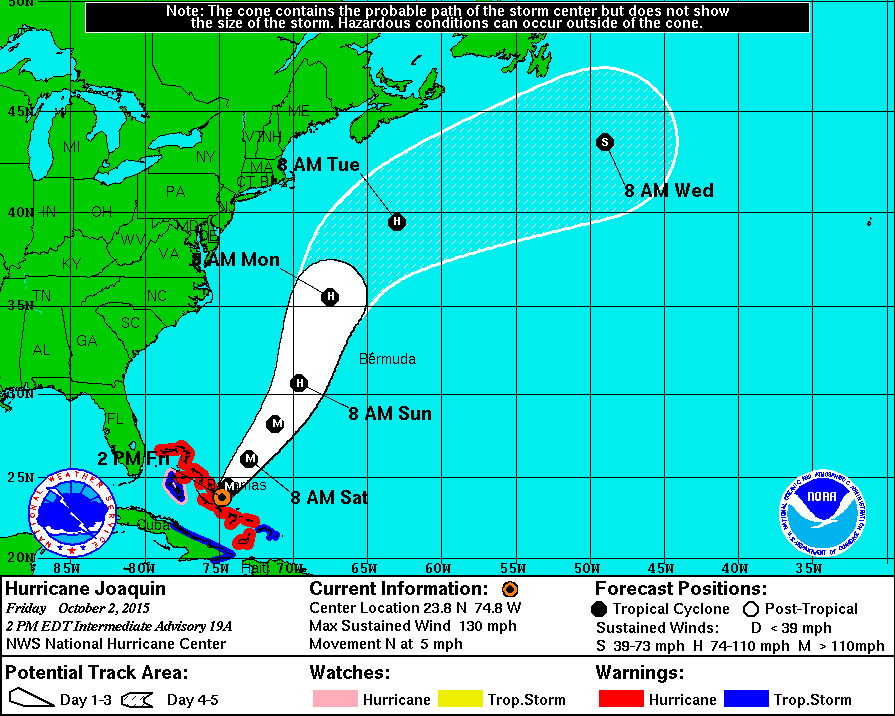
Hurricane Joaquin projected path as of 2PM Oct 2, 2015 (courtesy NHC)
It now appear that Hurricane Joaquin will not hit anywhere on the east coast and instead will curve out to sea.  The storm continues to be intense, reaching Catagory 4 status yesterday.  The Bahamas continue to suffer the worst effects of the storm with severe damage there almost certain.  It has been interesting to watch the development and progress of the storm as well as the nearly hourly changes in the projected path.  The only forecast model that got the 'out to sea' path right days ago was the European model.  Most every other forecast model called for an impact somewhere on the east coast but once again the European model got it right.  Although we will have no direct impact from the storm the entire area will continue to be under the influence of sustained northeast winds that have already been in place for several days and will continue for a few more.  There are many potentially unusual birds that could show up inland from conditions like this (not as many as a tropical system would bring in but still some stuff).  One possibility would be Northern Wheatears being blown back to the east as they migrate from far northern Canada out over the Atlantic to Africa.  In fact one showed up just to our east in Worcester County at Wachusetts Reservoir yesterday and continued today.  Other possibilities would include a number of near shore pelagics such as Black legged Kittiwakes, unusual gulls, phalaropes and others (including storm petrels...which also have shown up in Worcester County with a Leach's Storm Petrel today).  Any additional rain we get could also ground other migrants including but not limited to waterfowl and shorebirds.
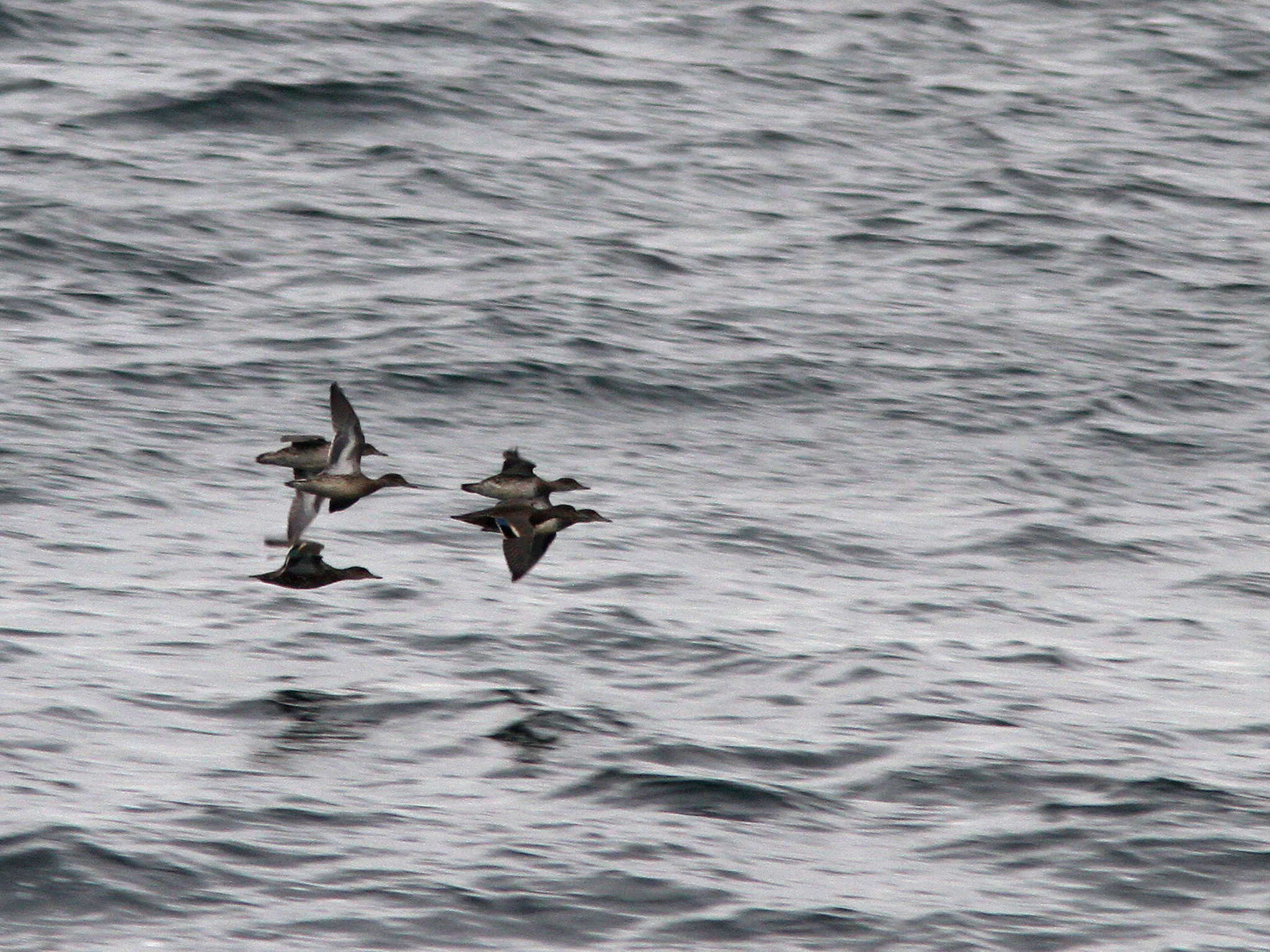
Green winged Teal, Winsor Dam, Quabbin Park, MA, Oct 2, 2015
Common Loon, Winsor Dam, Quabbin Park, MA, Oct 2, 2015
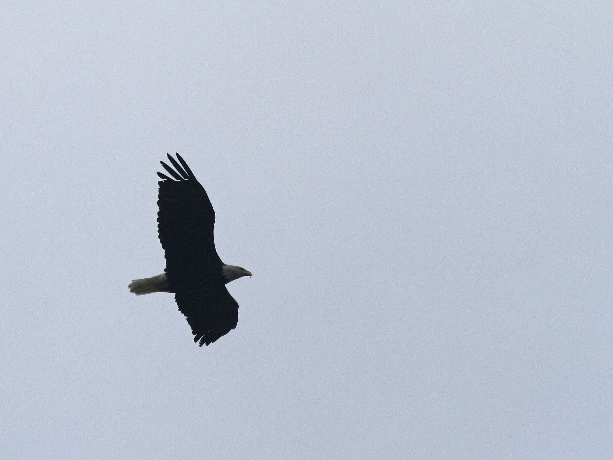
Bald Eagle, Winsor Dam, Quabbin Park, MA, Oct 2, 2015
Surf Scoter, Winsor Dam, Quabbin Park, MA, Oct 2, 2015
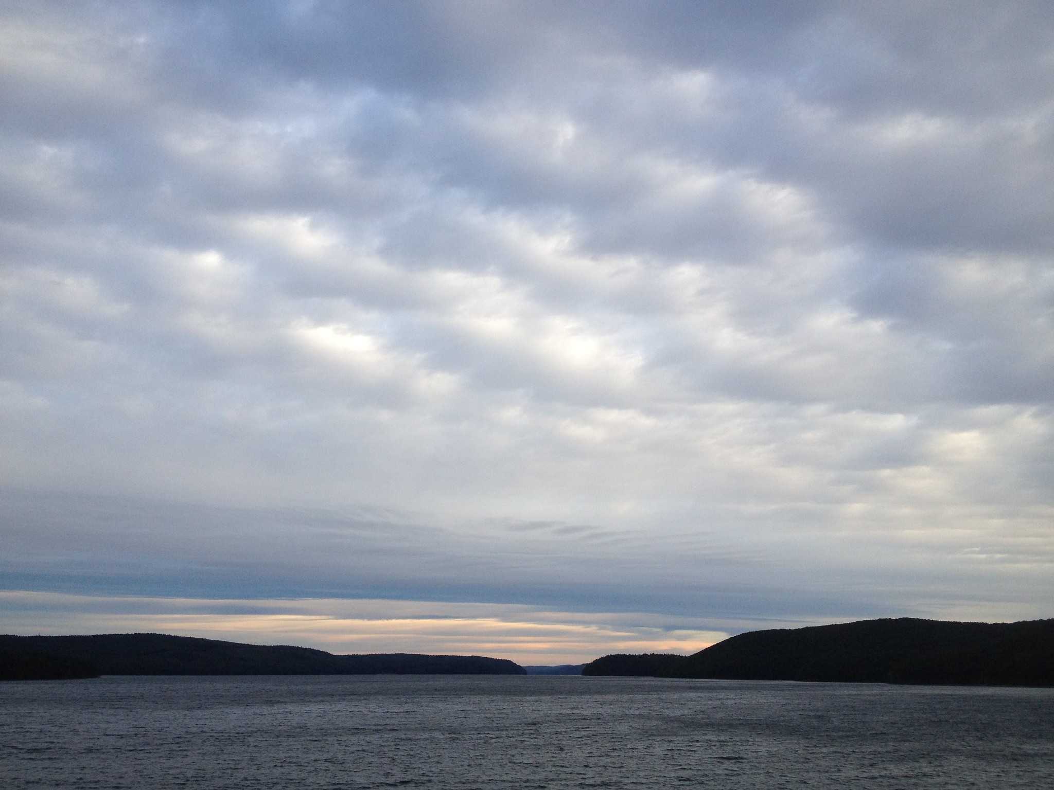
Winsor Dam, Quabbin Park, MA, Oct 2, 2015
Pied billed Grebe, Beaver Lake, Ware, MA, Oct 2, 2015
With the possibility of something unusual being around due to the sustained northeast winds I headed over to the south Quabbin area where I spent a large part of the morning as well as a little time in the early afternoon.  The strong winds made viewing a bit difficult but I nonetheless managed to find some decent stuff including a Surf Scoter (species #229 for Hampshire County this year), half a dozen Green winged Teal flying around at Winsor Dam, a few other species of waterfowl (including a continued Pied billed Grebe at Beaver Lake), a few raptors migrating and a number of warblers and other unidentified passerines zipping by.  I was actually expecting more waterfowl and raptors to be moving but at least I had some.  I spent a good chunk of my time at Winsor Dam but also made stops within Qabbin Park as well as down to Beaver Lake.  I tried my best to find a Northern Wheatear along either Winsor Dam or Goodnough Dike but no luck today.  I was joined for a time at Winsor Dam and a nearby sheltered area (somewhat out of the wind) of Quabbin Park by Sam from New Jersey and Stijn from Belgium.  It was nice to be out with someone who gets lifers one after another as Stijn was making his first trip to the US.  We managed to find a number of his target species (including Bald Eagle, Gray Catbird and woodpeckers) as well as many other new ones for him despite the less than ideal conditions for finding landbirds. 
Ring necked Ducks, Barton's Cove, Gill, MA, Oct 1, 2015
I had to go up to Greenfield for a class yesterday and made a brief stop at Barton's Cove where I found some waterfowl including four Ring necked Ducks as well as a Gadwall among the more expected species.  It is so much easier to view the waterfowl there as they are not as far out as many are at Quabbin.

Wednesday, September 30, 2015

Update on Hurricane Joaquin


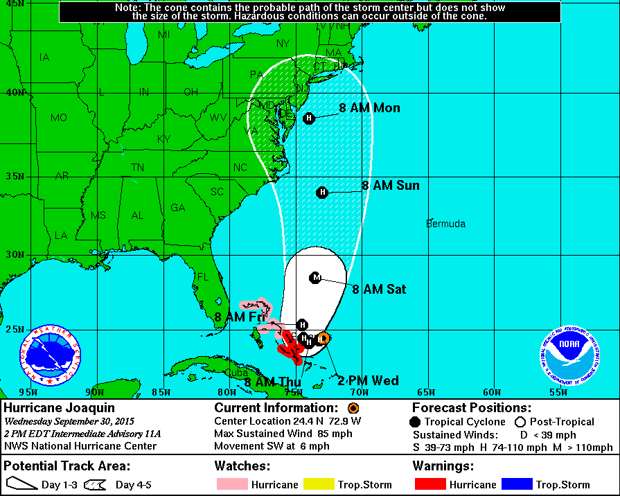
Hurricane Joaquin forecast track as of 2PM, Sep 30, 2015 (map courtesy of the NHC)
Tropical Depression 11 developed into Tropical Storm Joaquin yesterday and into Hurricane Joaquin today. As mentioned a few days ago when the depression was just forming, the potential exists for the storm to eventually have an impact here (or at least somewhere on the east coast). The current projection shows the storm continuing to develop and intensify and slowly begin to move in a northerly direction, possibly reaching Category 3 strength. The storm is over historically warm waters at this point and the main item that has kept it from intensifying even quicker has been continued wind shear.  The real question is where it goes after turning north. It could curve more northwestward and impact areas to our south or continue north and impact western mass directly or be curved out to sea. The latest guidance puts the track more west than east with an impact somewhere along the east coast. There various forecast models are having a tough time figuring out a high confidence track for the storm as there are many variables that could interact with the storm and change the actual track, especially out beyond a few days. Regardless of the final path we are likely to at least get some heavy rain and wind from the storm.  I will update over the coming days. 

Link to some additional related information regarding the storm and related birds can be found at a Birdcast post here:  http://birdcast.info/forecast/special-alert-upper-midwest-and-northeast-tropical-storm-joaquin/

A link to tropical system related birds in western Massachusetts as well as various of useful links related to tropical weather can be found at this link from an earlier post:
http://quabbinbirdingandbeyond.blogspot.com/2015/02/a-look-at-tropical-storm-related.html

Below is the projected storm location and strength for the next five days.

FORECAST POSITIONS AND MAX WINDS

INIT  30/1500Z 24.7N  72.6W   70 KT  80 MPH
 12H  01/0000Z 24.3N  73.2W   80 KT  90 MPH
 24H  01/1200Z 24.1N  74.0W   85 KT 100 MPH
 36H  02/0000Z 24.4N  74.4W   90 KT 105 MPH
 48H  02/1200Z 25.3N  74.5W   95 KT 110 MPH
 72H  03/1200Z 28.5N  73.5W  100 KT 115 MPH
 96H  04/1200Z 34.0N  73.0W   90 KT 105 MPH
120H  05/1200Z 38.5N  74.0W   75 KT  85 MPH


Last night and today we have dealt with heavy rain associated with a variety of weather features and the rains produced 5"+ of rain leading to some local flooding.  Beyond a few species of waterfowl likely being forced down I have not seen nor heard of anything way out of the ordinary associated with the heavy rain of yesterday and today.